UN/LOCODE hub · Germany
DEGGN

Giengen

48.6215°, 10.2297°
2
Transport functions

Transport Functions

Rail
Road
UN/LOCODE

Hub Profile

Region
BW
GeoNames
Logistics facilities
2
UN/LOCODE

Location

Location of DEGGN
Natural Earth 10m (public domain) · BW · DEGGN · 48.62, 10.23GoogleOSMYandex

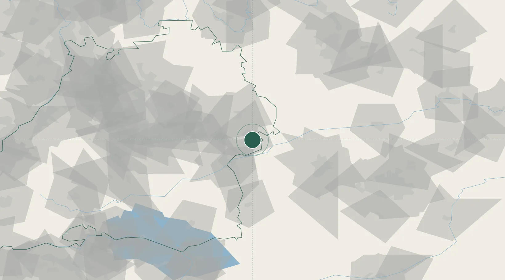
Nearby Logistics Neighbours

Cities
  1. 1Syrgenstein4 km
  2. 2Staufen6 km
  3. 3Niederstotzingen8 km
  4. 4Sontheim an der Brenz9 km
  5. 5Heidenheim an der Brenz9 km
Nearest neighbours — logibook spatial index (haversine) over the source coordinates
Ports
  1. 1Nogaro388 km
  2. 2Porto Di Lido-Venezia394 km
  3. 3Grado399 km
  4. 4Monfalcone403 km
  5. 5Porto Di Chioggia408 km
Nearest neighbours — logibook spatial index (haversine) over the source coordinates
Airports
  1. 1Laupheim Air Base51 km
  2. 2Augsburg Airport56 km
  3. 3Adolf Würth Airport64 km
  4. 4Lechfeld Air Base67 km
  5. 5Memmingen Allgau Airport70 km
Nearest neighbours — logibook spatial index (haversine) over the source coordinates
Trade Zones
  1. 1ZFU Neuhof182 km
  2. 2ZFU Hautepierre187 km
  3. 3Freeport of Deggendorf198 km
  4. 4Livigno Free Trade Zone233 km
  5. 5ZFU Mulhouse235 km
Nearest neighbours — logibook spatial index (haversine) over the source coordinates
DatabookThe Record of Consolidated Knowledge
Germany beyond logistics?
Browse databook

All Sources

LocationsUN/LOCODE
UN/LOCODE — free
Portsthe NGA World Port Index
Public domain (US gov)
AirportsOurAirports
Public domain
Trade Zonesthe World Bank SEZ database
CC BY 4.0
Trade ZonesOpen Zone Map
CC BY
← Germany locations