Transport Functions
Road
Multimodal
Hub Profile
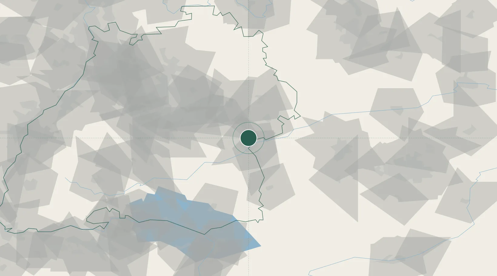
Place type
Local administrative seat
Region
Baden-Wurttemberg
Population
2,508
Time zone
Europe/Berlin
Elevation
586 m
Location
Nearby Logistics Neighbours
Cities
- 1Neu Ulm3 km
- 2Ulm7 km
- 3Unterelchingen9 km
- 4Blaustein9 km
- 5Burlafingen10 km
Ports
- 1Nogaro387 km
- 2Porto Di Lido-Venezia388 km
- 3Grado399 km
- 4Porto Di Chioggia402 km
- 5Monfalcone404 km
Airports
- 1Laupheim Air Base30 km
- 2Memmingen Allgau Airport58 km
- 3Stuttgart Airport61 km
- 4Mengen-Hohentengen Airfield66 km
- 5Augsburg Airport70 km
Trade Zones
- 1ZFU Neuhof164 km
- 2ZFU Hautepierre169 km
- 3ZFU Mulhouse213 km
- 4Livigno Free Trade Zone217 km
- 5ZFU La Cité Behren-lès-Forbach236 km
DatabookThe Record of Consolidated Knowledge
Germany beyond logistics?