UN/LOCODE hub · Germany
DENSG
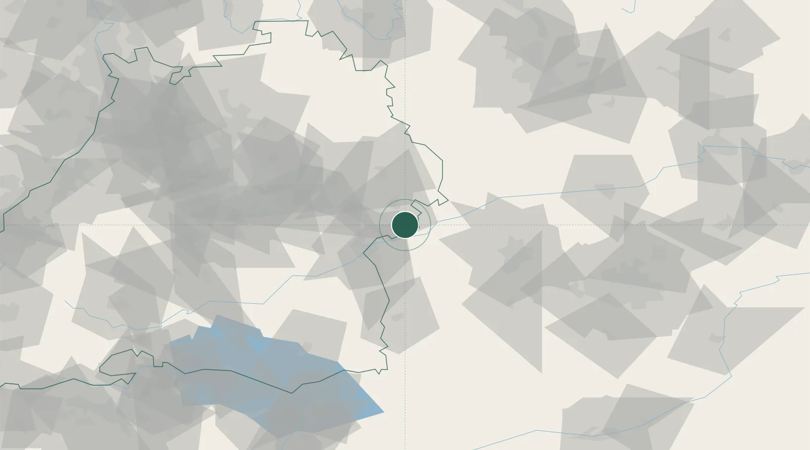
Niederstotzingen
48.5500°, 10.2333°
4,920
Population
2
Transport functions
Transport Functions
Rail
Road
Hub Profile
Place type
Populated place
Region
Baden-Wurttemberg
Population
4,920
Time zone
Europe/Berlin
Elevation
466 m
Location
Nearby Logistics Neighbours
Cities
- 1Sontheim an der Brenz4 km
- 2Baechingen5 km
- 3Rammingen6 km
- 4Giengen8 km
- 5Syrgenstein11 km
Ports
- 1Nogaro381 km
- 2Porto Di Lido-Venezia386 km
- 3Grado393 km
- 4Monfalcone397 km
- 5Porto Di Chioggia401 km
Airports
- 1Laupheim Air Base44 km
- 2Augsburg Airport53 km
- 3Lechfeld Air Base62 km
- 4Memmingen Allgau Airport63 km
- 5Adolf Würth Airport71 km
Trade Zones
- 1ZFU Neuhof182 km
- 2ZFU Hautepierre187 km
- 3Freeport of Deggendorf199 km
- 4Livigno Free Trade Zone225 km
- 5ZFU Mulhouse233 km
DatabookThe Record of Consolidated Knowledge
Germany beyond logistics?