Transport Functions
Multimodal
Hub Profile
Place type
Local administrative seat
Region
Thuringia
Population
162
Time zone
Europe/Berlin
Elevation
168 m
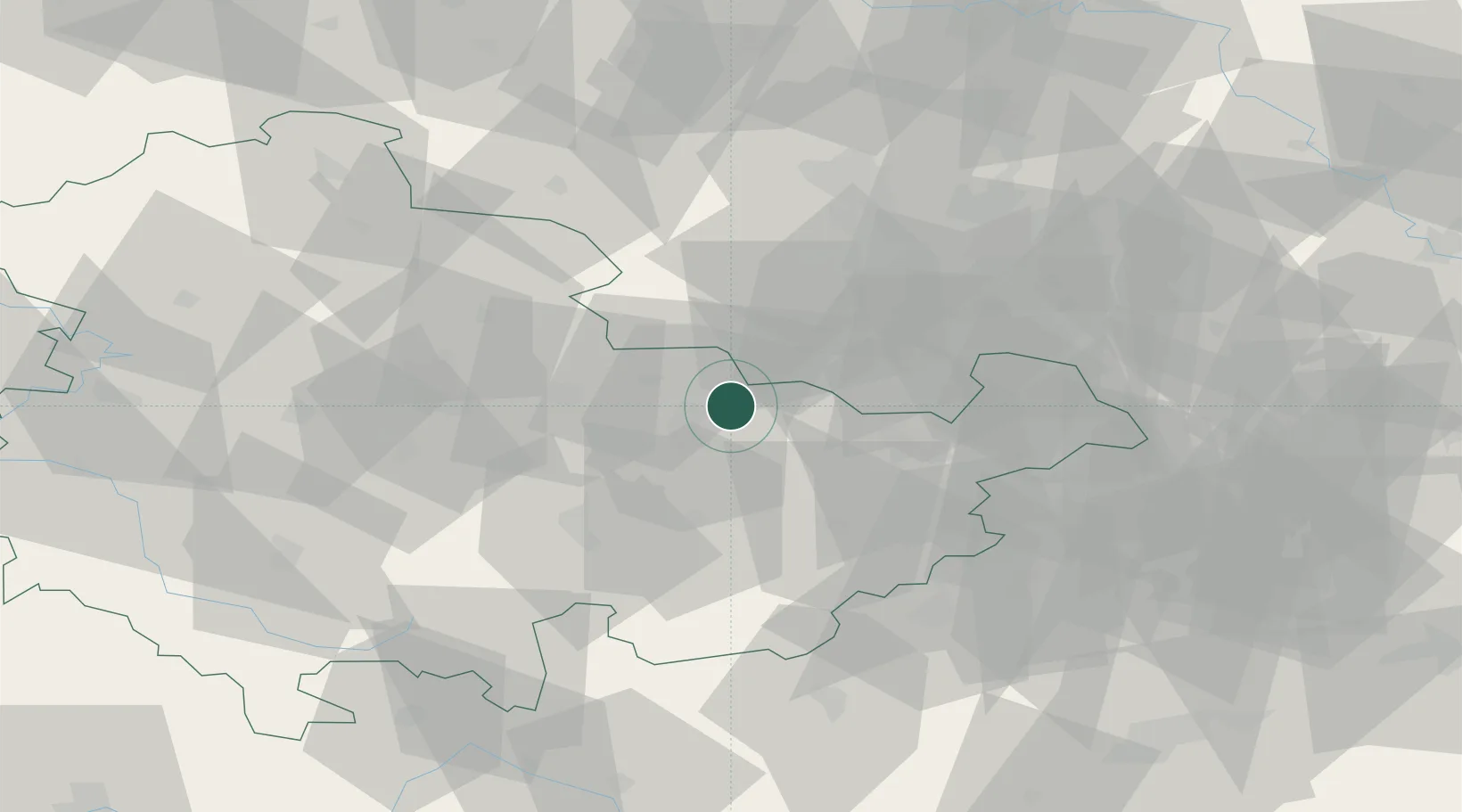
Location
Nearby Logistics Neighbours
Cities
- 1Schkölen11 km
- 2Stadtroda13 km
- 3Heideland15 km
- 4Grossheringen15 km
- 5Niederrossla17 km
Airports
- 1Erfurt-Weimar Airport52 km
- 2Leipzig–Altenburg Airport57 km
- 3Leipzig/Halle Airport63 km
- 4Hof-Plauen Airport76 km
- 5Eisenach-Kindel Airport86 km
Trade Zones
DatabookThe Record of Consolidated Knowledge
Germany beyond logistics?