Transport Functions
Road
Multimodal
Hub Profile
Region
TH
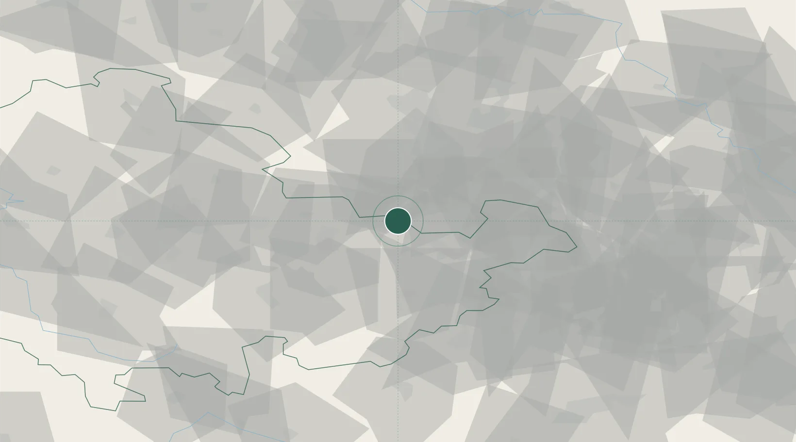
Location
Nearby Logistics Neighbours
Cities
- 1Crossen an der Elster6 km
- 2Schkölen7 km
- 3Osterfeld8 km
- 4Schleinitz10 km
- 5Meineweh11 km
Airports
- 1Leipzig–Altenburg Airport43 km
- 2Leipzig/Halle Airport52 km
- 3Erfurt-Weimar Airport66 km
- 4Hof-Plauen Airport79 km
- 5Eisenach-Kindel Airport99 km
Trade Zones
DatabookThe Record of Consolidated Knowledge
Germany beyond logistics?