Transport Functions
Multimodal
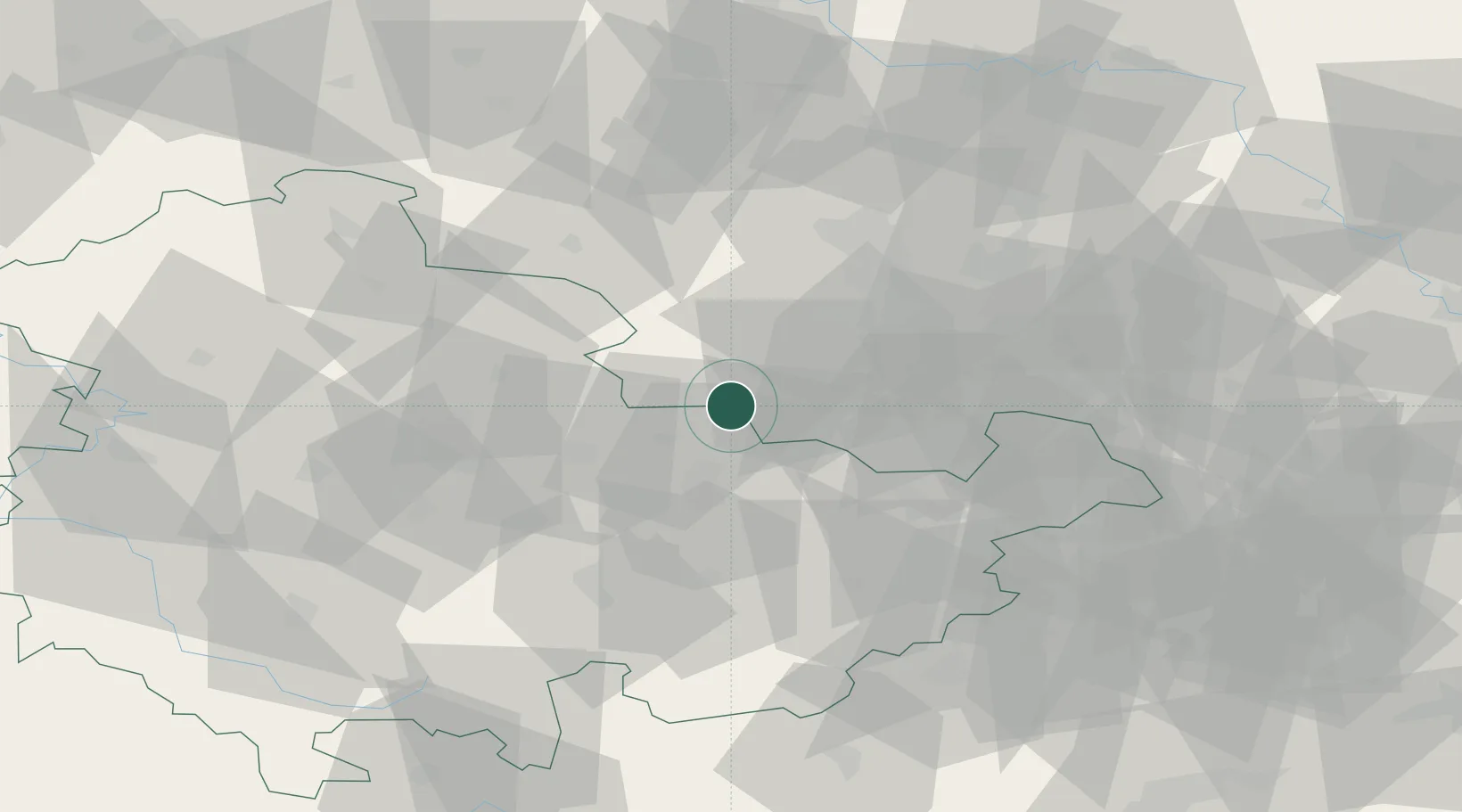
Hub Profile
Place type
Local administrative seat
Region
Thuringia
Population
685
Time zone
Europe/Berlin
Elevation
126 m
Location
Nearby Logistics Neighbours
Cities
- 1Schkölen13 km
- 2Niederrossla15 km
- 3Löberschütz15 km
- 4Görschen16 km
- 5Buttstadt18 km
Airports
- 1Erfurt-Weimar Airport51 km
- 2Leipzig/Halle Airport53 km
- 3Leipzig–Altenburg Airport60 km
- 4Eisenach-Kindel Airport84 km
- 5Hof-Plauen Airport91 km
Trade Zones
- 1Žatec - Triangle Strategic Industrial Zone153 km
- 2Most - Joseph Industrial Zone155 km
- 3Podbořany Industrial Zone156 km
- 4Kostrzyń-Słubice SEZ263 km
- 5Freeport of Deggendorf266 km
DatabookThe Record of Consolidated Knowledge
Germany beyond logistics?