Transport Functions
Multimodal
Hub Profile
Region
TH
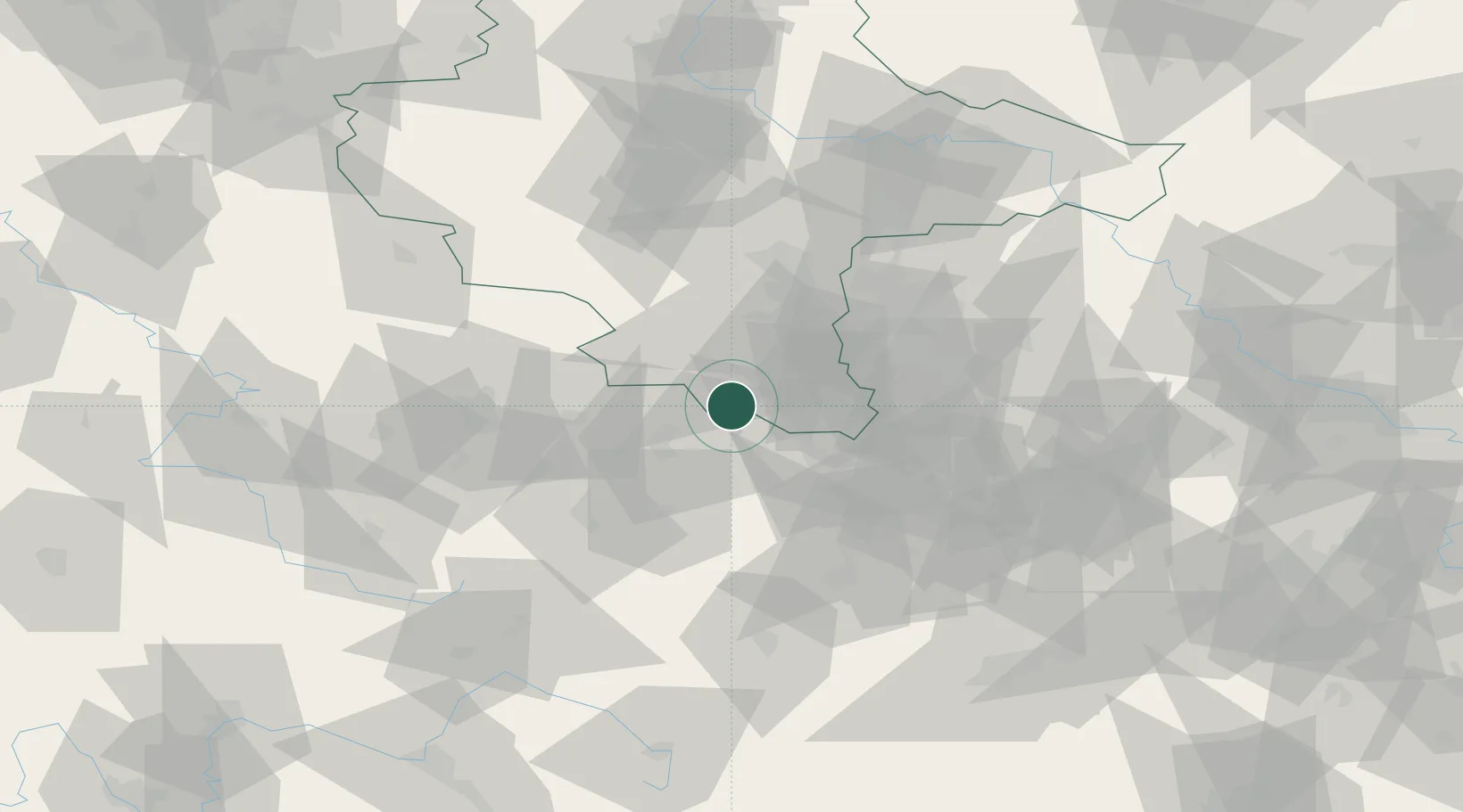
Location
Nearby Logistics Neighbours
Cities
- 1Heideland7 km
- 2Osterfeld9 km
- 3Schleinitz10 km
- 4Görschen11 km
- 5Löberschütz11 km
Airports
- 1Leipzig–Altenburg Airport49 km
- 2Leipzig/Halle Airport52 km
- 3Erfurt-Weimar Airport60 km
- 4Hof-Plauen Airport83 km
- 5Eisenach-Kindel Airport94 km
Trade Zones
- 1Žatec - Triangle Strategic Industrial Zone140 km
- 2Most - Joseph Industrial Zone142 km
- 3Podbořany Industrial Zone143 km
- 4Freeport of Deggendorf255 km
- 5Kostrzyń-Słubice SEZ261 km
DatabookThe Record of Consolidated Knowledge
Germany beyond logistics?