Transport Functions
Multimodal
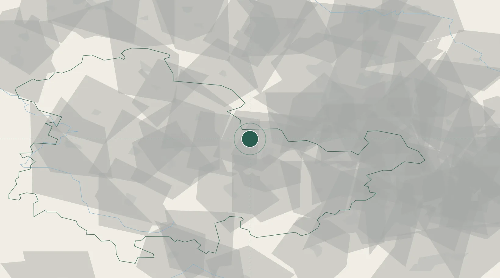
Hub Profile
Place type
Local administrative seat
Region
Thuringia
Population
1,253
Time zone
Europe/Berlin
Elevation
181 m
Location
Nearby Logistics Neighbours
Cities
- 1Frankendorf8 km
- 2Buttstadt10 km
- 3Grossheringen15 km
- 4Löberschütz17 km
- 5Bad Berka20 km
Airports
- 1Erfurt-Weimar Airport37 km
- 2Leipzig/Halle Airport68 km
- 3Eisenach-Kindel Airport70 km
- 4Leipzig–Altenburg Airport72 km
- 5Hof-Plauen Airport87 km
Trade Zones
- 1Žatec - Triangle Strategic Industrial Zone160 km
- 2Podbořany Industrial Zone162 km
- 3Most - Joseph Industrial Zone164 km
- 4Freeport of Deggendorf263 km
- 5Kostrzyń-Słubice SEZ278 km
DatabookThe Record of Consolidated Knowledge
Germany beyond logistics?