Transport Functions
Multimodal
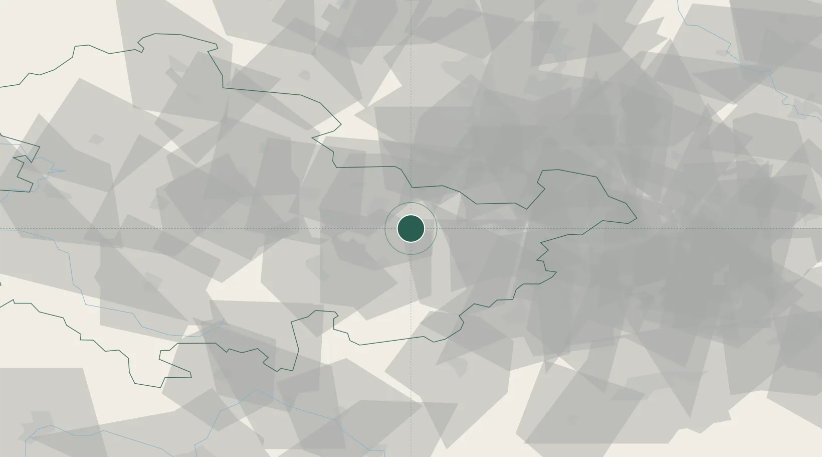
Hub Profile
Place type
Populated place
Region
Thuringia
Population
6,695
Time zone
Europe/Berlin
Elevation
199 m
Location
Nearby Logistics Neighbours
Cities
- 1Ottendorf bei Stadtroda6 km
- 2Löberschütz13 km
- 3Kraftsdorf13 km
- 4Münchenbernsdorf15 km
- 5Heideland20 km
Airports
- 1Erfurt-Weimar Airport56 km
- 2Leipzig–Altenburg Airport56 km
- 3Hof-Plauen Airport63 km
- 4Leipzig/Halle Airport72 km
- 5Eisenach-Kindel Airport89 km
Trade Zones
DatabookThe Record of Consolidated Knowledge
Germany beyond logistics?