Transport Functions
Rail
Road
Hub Profile
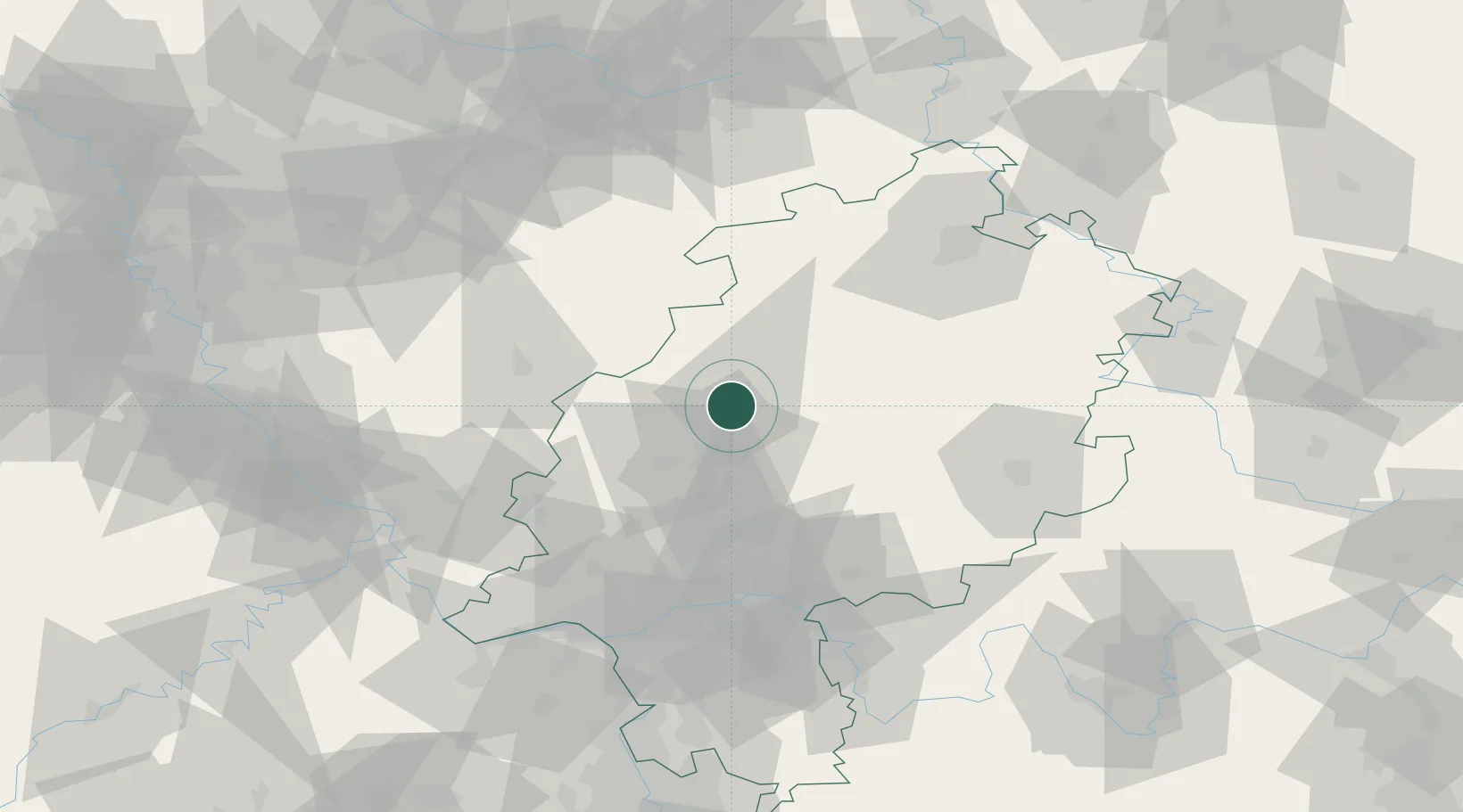
Place type
Populated place
Region
Hesse
Time zone
Europe/Berlin
Elevation
188 m
Location
Nearby Logistics Neighbours
Cities
- 1Fronhausen8 km
- 2Lahntal10 km
- 3Grossen Buseck19 km
- 4Steinperf20 km
- 5Homberg20 km
Airports
- 1Siegerland Airport46 km
- 2Fritzlar Army Airfield55 km
- 3Frankfurt Main Airport83 km
- 4Wiesbaden Army Airfield85 km
- 5Kassel Airport86 km
Trade Zones
- 1Rheinische Revier SWZ166 km
- 2Freeport of Duisburg168 km
- 3Luxembourg Free Port218 km
- 4ZFU La Cité Behren-lès-Forbach220 km
- 5ZFU Hautepierre253 km
DatabookThe Record of Consolidated Knowledge
Germany beyond logistics?