Transport Functions
Rail
Road
Hub Profile
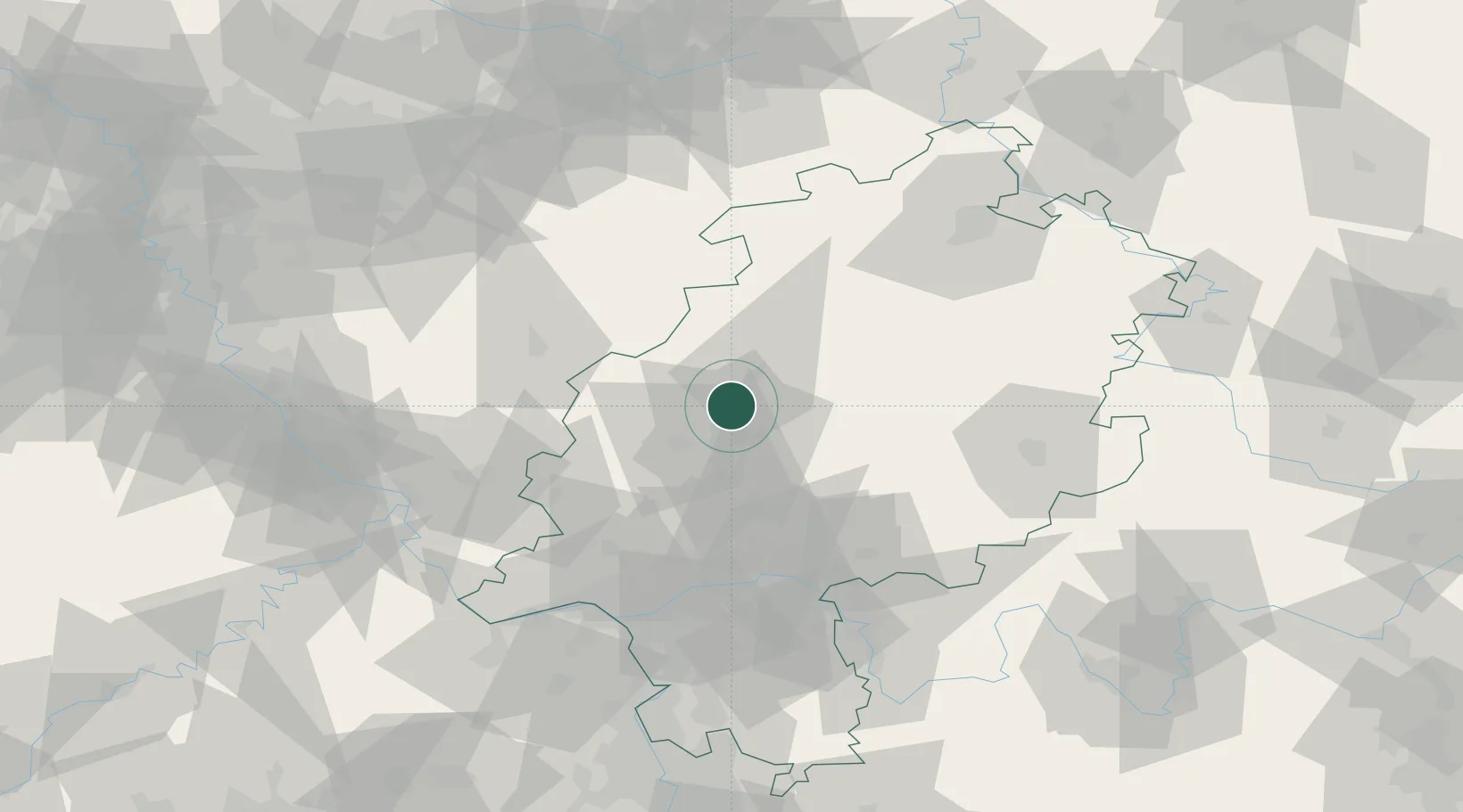
Place type
Local administrative seat
Region
Hesse
Population
4,116
Time zone
Europe/Berlin
Elevation
167 m
Location
Nearby Logistics Neighbours
Cities
- 1Niederweimar8 km
- 2Grossen Buseck13 km
- 3Giessen13 km
- 4Lahntal17 km
- 5Asslar19 km
Airports
- 1Siegerland Airport42 km
- 2Fritzlar Army Airfield63 km
- 3Frankfurt Main Airport75 km
- 4Wiesbaden Army Airfield77 km
- 5Frankfurt-Egelsbach Airport82 km
Trade Zones
- 1Rheinische Revier SWZ164 km
- 2Freeport of Duisburg168 km
- 3Luxembourg Free Port211 km
- 4ZFU La Cité Behren-lès-Forbach212 km
- 5ZFU Hautepierre245 km
DatabookThe Record of Consolidated Knowledge
Germany beyond logistics?