Transport Functions
Multimodal
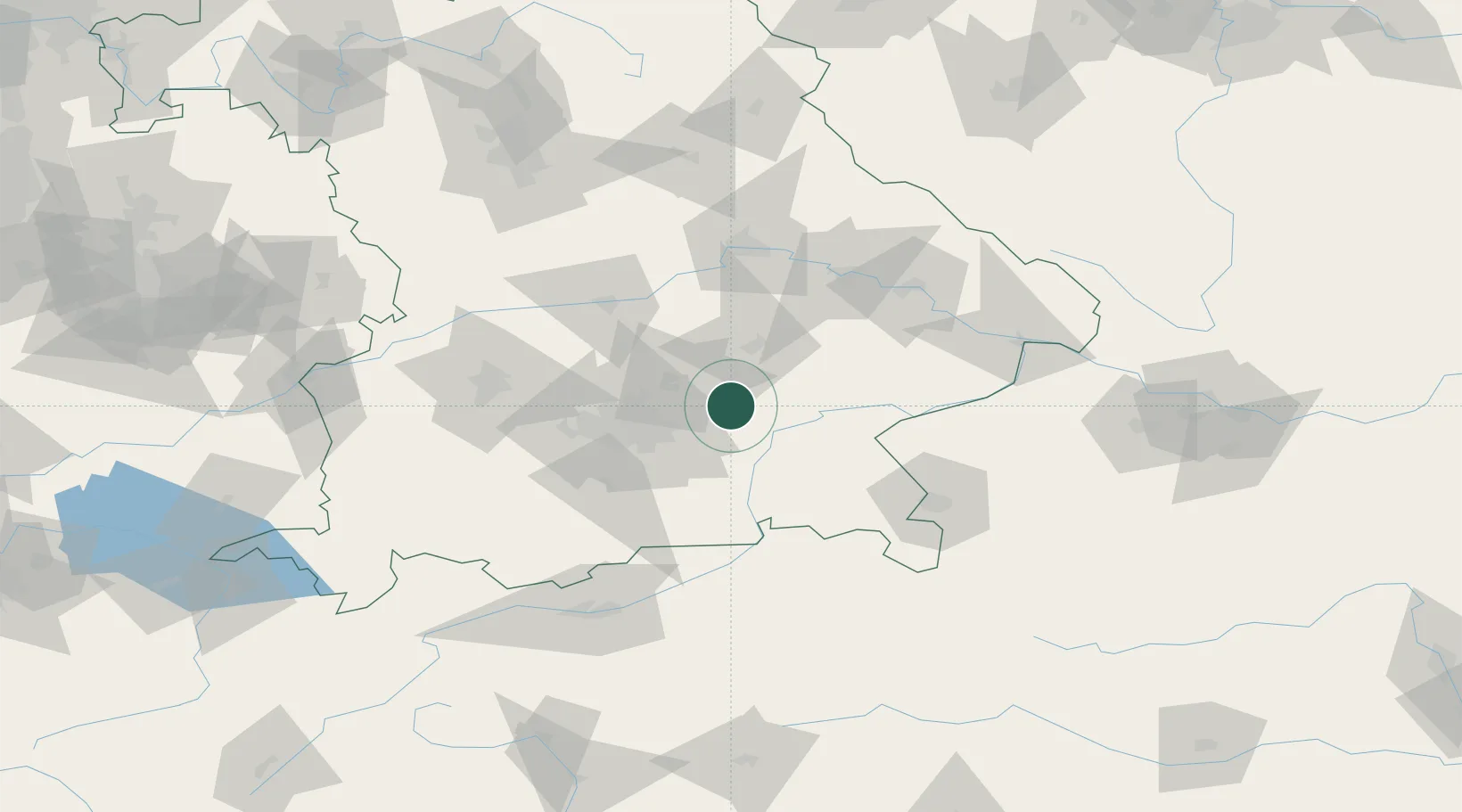
Hub Profile
Place type
Local administrative seat
Region
Bavaria
Population
2,648
Time zone
Europe/Berlin
Elevation
468 m
Location
Nearby Logistics Neighbours
Cities
- 1Wörth bei Erding12 km
- 2Moosinning14 km
- 3Hohenlinden14 km
- 4Kirchdorf bei Haag15 km
- 5Schwindegg15 km
Ports
- 1Nogaro291 km
- 2Monfalcone299 km
- 3Grado301 km
- 4Trieste318 km
- 5Porto Di Lido-Venezia318 km
Airports
- 1Munich Airport22 km
- 2Landshut Airfield27 km
- 3Altstetten Ultralight Field57 km
- 4Oberpfaffenhofen Airport61 km
- 5Ingolstadt Manching Airport63 km
Trade Zones
DatabookThe Record of Consolidated Knowledge
Germany beyond logistics?