Transport Functions
Port
Road
Hub Profile
Place type
Local administrative seat
Region
Bavaria
Population
3,501
Time zone
Europe/Berlin
Elevation
432 m
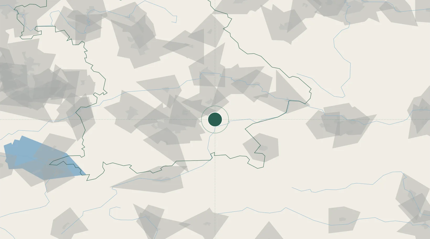
Location
Nearby Logistics Neighbours
Cities
- 1Obertaufkirchen3 km
- 2Kirchdorf bei Haag10 km
- 3Velden (Vils)11 km
- 4Ampfing13 km
- 5Weingarten13 km
Ports
- 1Nogaro287 km
- 2Monfalcone293 km
- 3Grado297 km
- 4Trieste312 km
- 5Porto Di Lido-Venezia317 km
Airports
- 1Landshut Airfield32 km
- 2Munich Airport36 km
- 3Altstetten Ultralight Field71 km
- 4Ingolstadt Manching Airport73 km
- 5Oberpfaffenhofen Airport75 km
Trade Zones
DatabookThe Record of Consolidated Knowledge
Germany beyond logistics?