UN/LOCODE hub · Germany
DEKBO

Kirchdorf bei Haag

48.1833°, 12.2000°
1
Transport functions

Transport Functions

Multimodal
UN/LOCODE

Hub Profile

Region
BY
GeoNames

Location

Location of DEKBO
Natural Earth 10m (public domain) · BY · DEKBO · 48.18, 12.20GoogleOSMYandex

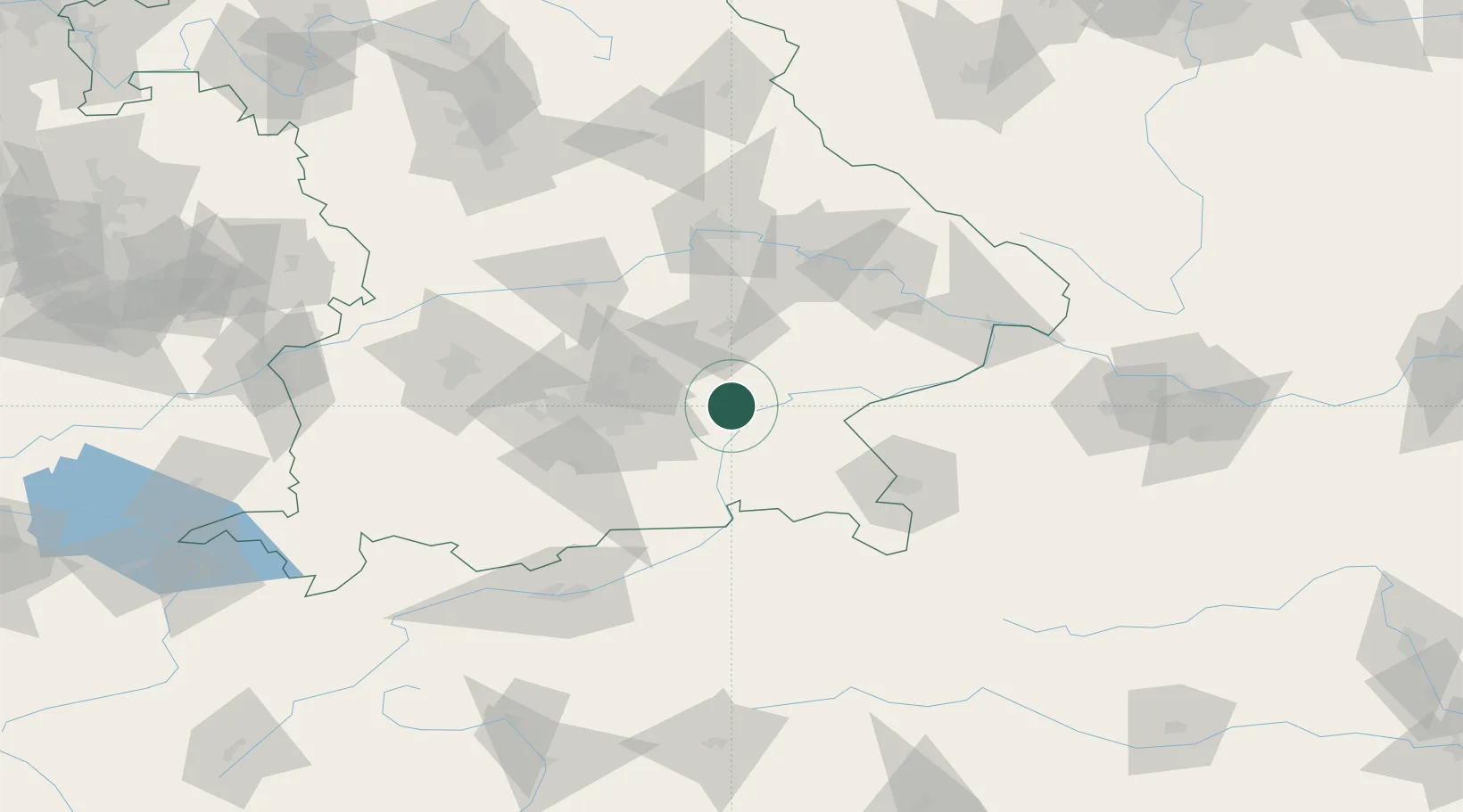
Nearby Logistics Neighbours

Cities
  1. 1Weingarten7 km
  2. 2Schwindegg10 km
  3. 3Obertaufkirchen11 km
  4. 4Wasserburg am Inn13 km
  5. 5Babensham13 km
Nearest neighbours — logibook spatial index (haversine) over the source coordinates
Ports
  1. 1Nogaro279 km
  2. 2Monfalcone286 km
  3. 3Grado289 km
  4. 4Trieste305 km
  5. 5Porto Di Lido-Venezia308 km
Nearest neighbours — logibook spatial index (haversine) over the source coordinates
Airports
  1. 1Munich Airport36 km
  2. 2Landshut Airfield39 km
  3. 3Oberpfaffenhofen Airport69 km
  4. 4Altstetten Ultralight Field69 km
  5. 5Salzburg Airport74 km
Nearest neighbours — logibook spatial index (haversine) over the source coordinates
Trade Zones
  1. 1Freeport of Deggendorf90 km
  2. 2Livigno Free Trade Zone242 km
  3. 3Podbořany Industrial Zone244 km
  4. 4Žatec - Triangle Strategic Industrial Zone264 km
  5. 5Most - Joseph Industrial Zone276 km
Nearest neighbours — logibook spatial index (haversine) over the source coordinates
DatabookThe Record of Consolidated Knowledge
Germany beyond logistics?
Browse databook

All Sources

LocationsUN/LOCODE
UN/LOCODE — free
Portsthe NGA World Port Index
Public domain (US gov)
AirportsOurAirports
Public domain
Trade Zonesthe World Bank SEZ database
CC BY 4.0
Trade ZonesOpen Zone Map
CC BY
← Germany locations