Transport Functions
Multimodal
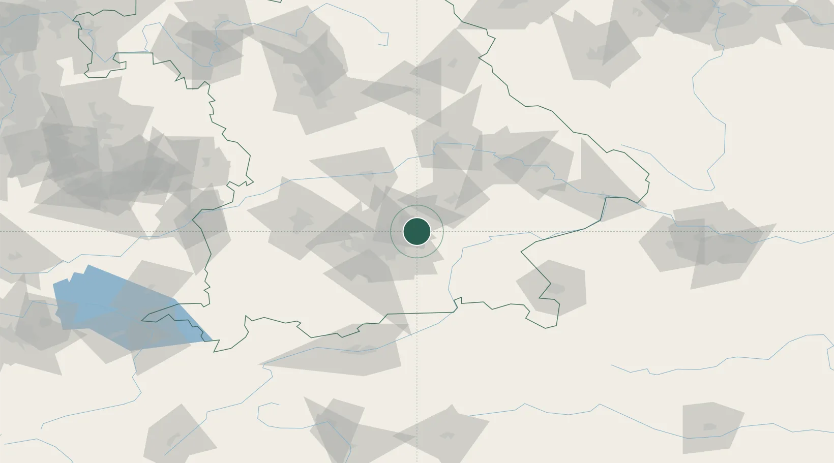
Hub Profile
Place type
Local administrative seat
Region
Bavaria
Population
5,166
Time zone
Europe/Berlin
Elevation
476 m
Location
Nearby Logistics Neighbours
Cities
- 1Oberding4 km
- 2Niederneuching4 km
- 3Wörth bei Erding6 km
- 4Lengdorf14 km
- 5Durneck15 km
Ports
- 1Nogaro298 km
- 2Monfalcone306 km
- 3Grado307 km
- 4Porto Di Lido-Venezia322 km
- 5Trieste326 km
Airports
- 1Munich Airport10 km
- 2Landshut Airfield28 km
- 3Altstetten Ultralight Field43 km
- 4Oberpfaffenhofen Airport49 km
- 5Ingolstadt Manching Airport54 km
Trade Zones
DatabookThe Record of Consolidated Knowledge
Germany beyond logistics?