Transport Functions
Road
Multimodal
Hub Profile
Place type
Local administrative seat
Region
Bavaria
Population
2,769
Time zone
Europe/Berlin
Elevation
542 m
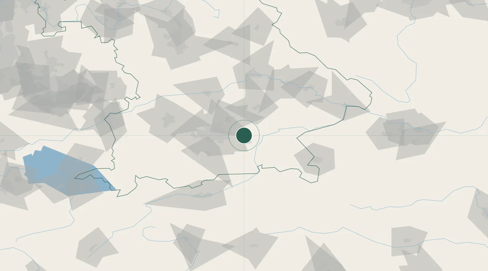
Location
Nearby Logistics Neighbours
Cities
- 1Wörth bei Erding11 km
- 2Grafing11 km
- 3Babensham11 km
- 4Kirchseeon12 km
- 5Frauenneuharting14 km
Ports
- 1Nogaro281 km
- 2Monfalcone289 km
- 3Grado290 km
- 4Porto Di Lido-Venezia306 km
- 5Trieste308 km
Airports
- 1Munich Airport27 km
- 2Landshut Airfield40 km
- 3Oberpfaffenhofen Airport53 km
- 4Altstetten Ultralight Field55 km
- 5Ingolstadt Manching Airport71 km
Trade Zones
DatabookThe Record of Consolidated Knowledge
Germany beyond logistics?