Transport Functions
Rail
Road
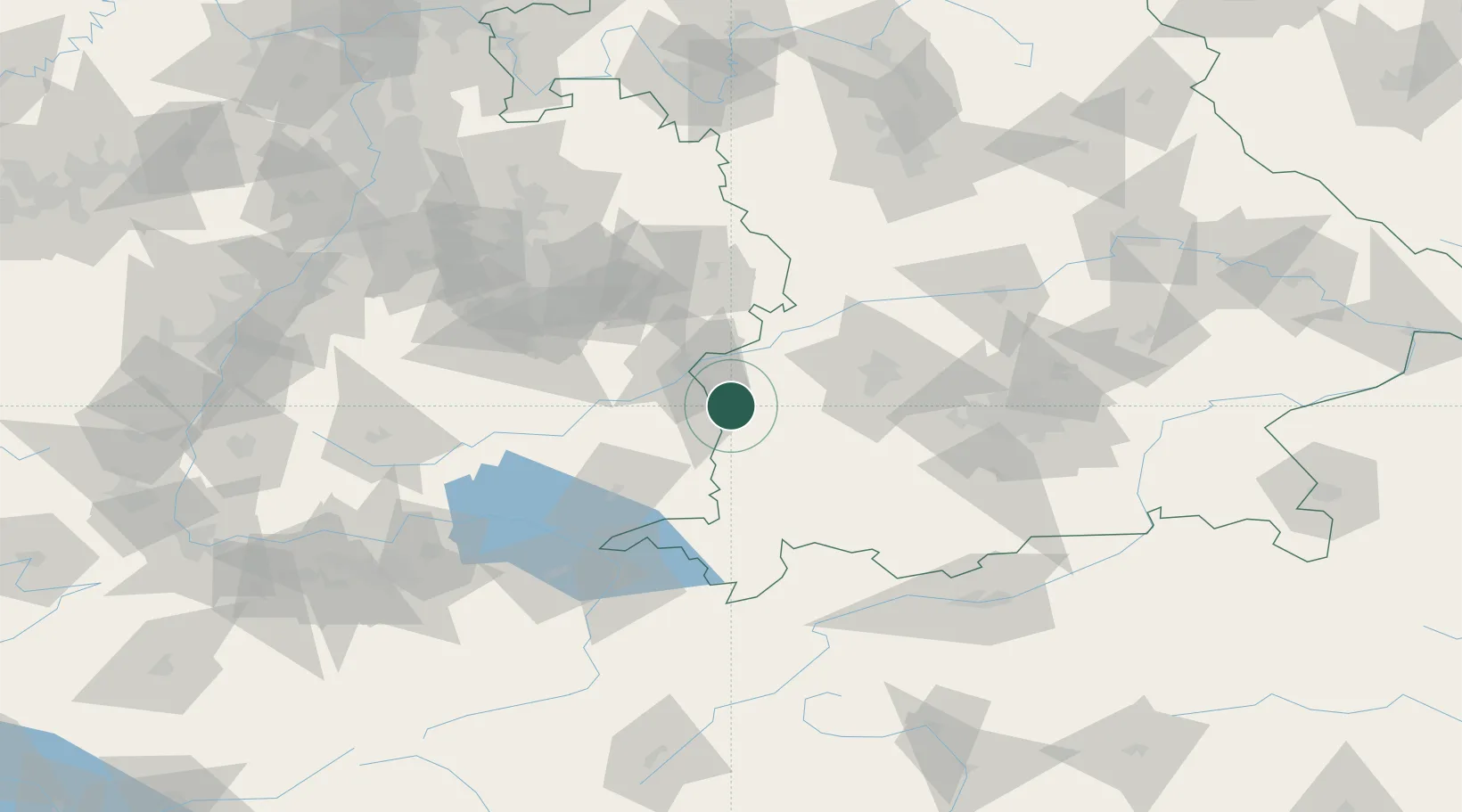
Hub Profile
Place type
Populated place
Region
Bavaria
Population
3,709
Time zone
Europe/Berlin
Elevation
545 m
Location
Nearby Logistics Neighbours
Cities
- 1Nordholz3 km
- 2Roggenburg6 km
- 3Breitenthal9 km
- 4Balzheim9 km
- 5Biberachzell11 km
Ports
- 1Nogaro355 km
- 2Porto Di Lido-Venezia355 km
- 3Grado367 km
- 4Porto Di Chioggia369 km
- 5Monfalcone372 km
Airports
- 1Laupheim Air Base20 km
- 2Memmingen Allgau Airport26 km
- 3Lechfeld Air Base50 km
- 4Augsburg Airport60 km
- 5Mengen-Hohentengen Airfield63 km
Trade Zones
- 1ZFU Neuhof182 km
- 2Livigno Free Trade Zone187 km
- 3ZFU Hautepierre189 km
- 4Freeport of Deggendorf212 km
- 5ZFU Mulhouse218 km
DatabookThe Record of Consolidated Knowledge
Germany beyond logistics?