Transport Functions
Multimodal
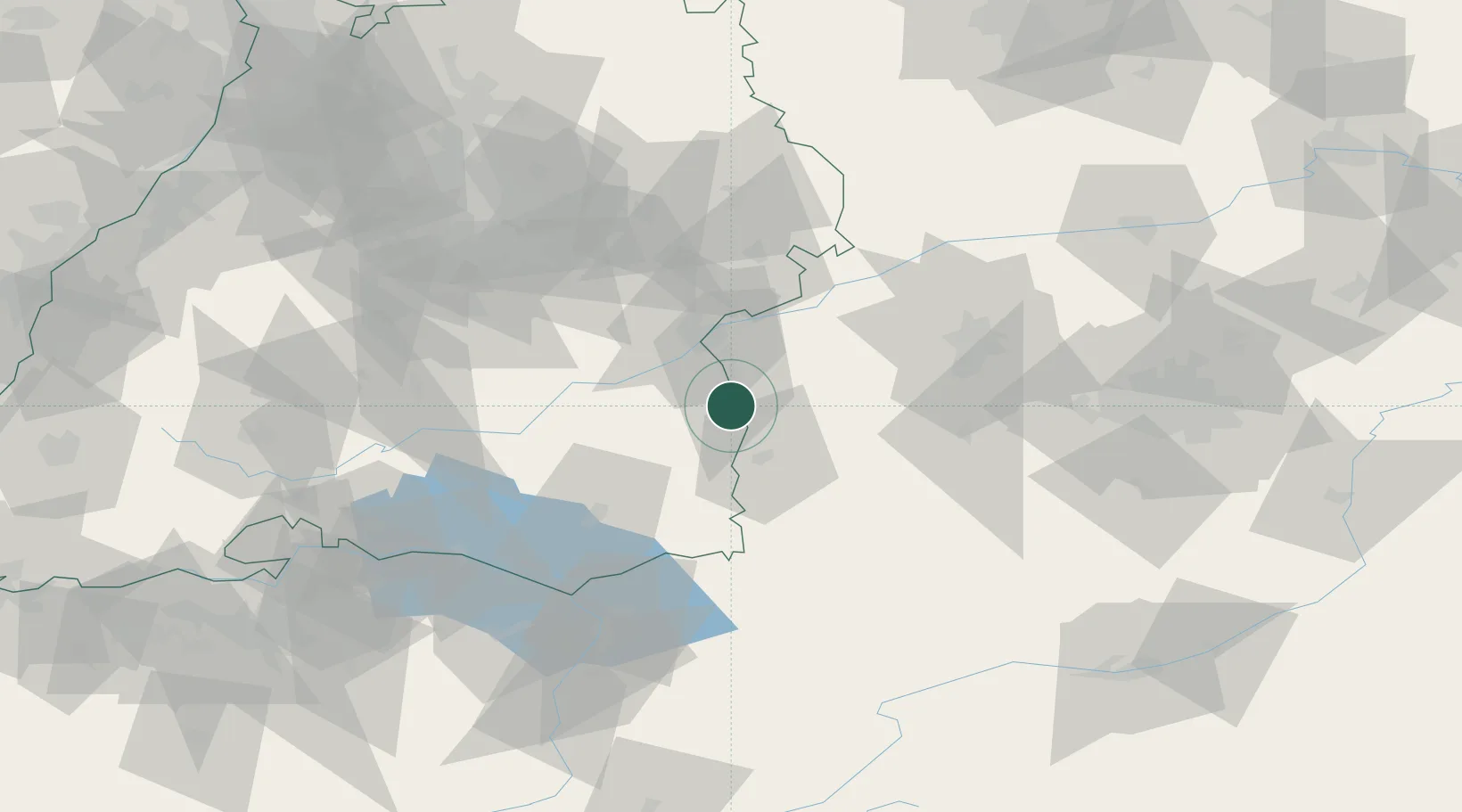
Hub Profile
Region
BW
Location
Nearby Logistics Neighbours
Cities
- 1Kirchberg an der Iller4 km
- 2Wain5 km
- 3Buch9 km
- 4Unteropfingen12 km
- 5Fellheim12 km
Ports
- 1Porto Di Lido-Venezia354 km
- 2Nogaro356 km
- 3Porto Di Chioggia367 km
- 4Grado367 km
- 5Monfalcone373 km
Airports
- 1Laupheim Air Base14 km
- 2Memmingen Allgau Airport23 km
- 3Mengen-Hohentengen Airfield54 km
- 4Lechfeld Air Base58 km
- 5Augsburg Airport69 km
Trade Zones
- 1ZFU Neuhof176 km
- 2Livigno Free Trade Zone182 km
- 3ZFU Hautepierre183 km
- 4ZFU Mulhouse210 km
- 5Freeport of Deggendorf221 km
DatabookThe Record of Consolidated Knowledge
Germany beyond logistics?