UN/LOCODE hub · Germany
DEKXI
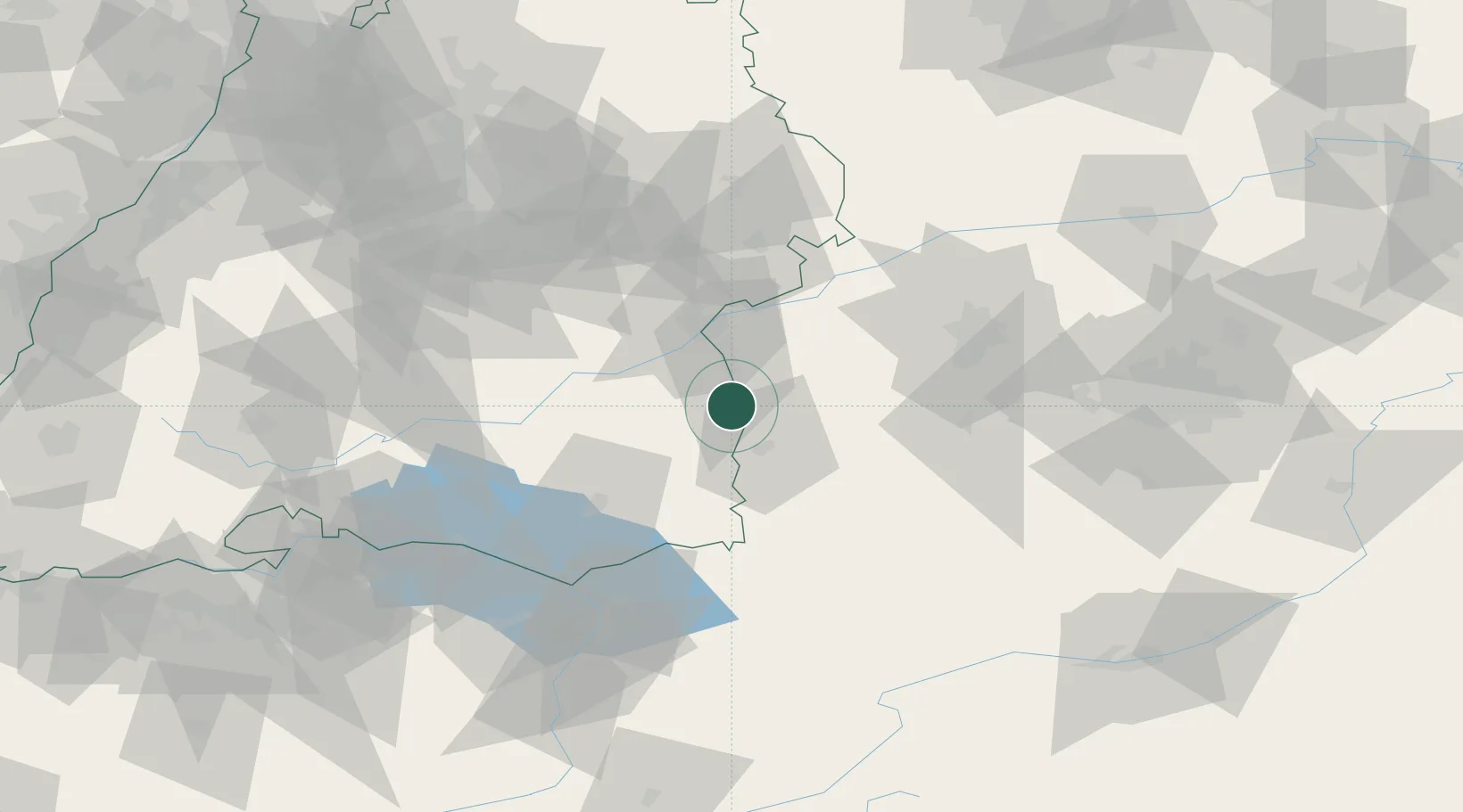
Kirchberg an der Iller
48.1333°, 10.0833°
1,901
Population
1
Transport functions
Transport Functions
Multimodal
Hub Profile
Place type
Local administrative seat
Region
Baden-Wurttemberg
Population
1,901
Time zone
Europe/Berlin
Elevation
537 m
Location
Nearby Logistics Neighbours
Cities
- 1Balzheim4 km
- 2Wain7 km
- 3Unteropfingen8 km
- 4Fellheim9 km
- 5Oberopfingen10 km
Ports
- 1Porto Di Lido-Venezia351 km
- 2Nogaro353 km
- 3Porto Di Chioggia364 km
- 4Grado365 km
- 5Monfalcone371 km
Airports
- 1Laupheim Air Base16 km
- 2Memmingen Allgau Airport20 km
- 3Mengen-Hohentengen Airfield54 km
- 4Lechfeld Air Base58 km
- 5Bodensee Airport Friedrichshafen67 km
Trade Zones
- 1ZFU Neuhof177 km
- 2Livigno Free Trade Zone178 km
- 3ZFU Hautepierre184 km
- 4ZFU Mulhouse209 km
- 5Freeport of Deggendorf223 km
DatabookThe Record of Consolidated Knowledge
Germany beyond logistics?