Transport Functions
Multimodal
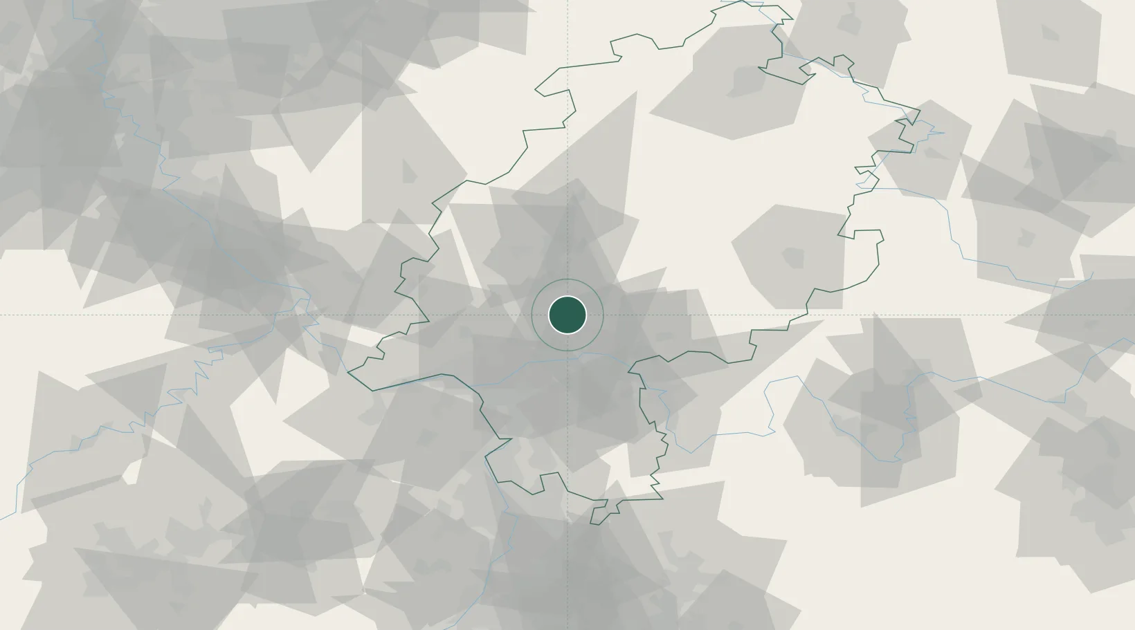
Hub Profile
Region
HE
Location
Nearby Logistics Neighbours
Cities
- 1Friedrichsdorf6 km
- 2Ober-Mörlen8 km
- 3Florstadt10 km
- 4Niederdorfelden13 km
- 5Wölfersheim13 km
Airports
- 1Frankfurt Main Airport32 km
- 2Frankfurt-Egelsbach Airport38 km
- 3Wiesbaden Army Airfield39 km
- 4Mainz-Finthen Airfield55 km
- 5Siegerland Airport64 km
Trade Zones
- 1Rheinische Revier SWZ178 km
- 2ZFU La Cité Behren-lès-Forbach180 km
- 3Luxembourg Free Port193 km
- 4Freeport of Duisburg196 km
- 5ZFU Hautepierre204 km
DatabookThe Record of Consolidated Knowledge
Germany beyond logistics?