UN/LOCODE hub · Germany
DEORM

Ober-Mörlen

50.3667°, 8.6833°
5,967
Population
3
Transport functions

Transport Functions

Port
Road
Multimodal
UN/LOCODE

Hub Profile

Place type
Local administrative seat
GeoNames
Region
Hesse
GeoNames
Population
5,967
GeoNames
Time zone
Europe/Berlin
GeoNames
Elevation
175 m
GeoNames

Location

Location of DEORM
Natural Earth 10m (public domain) · Hesse · DEORM · 50.37, 8.68GoogleOSMYandex

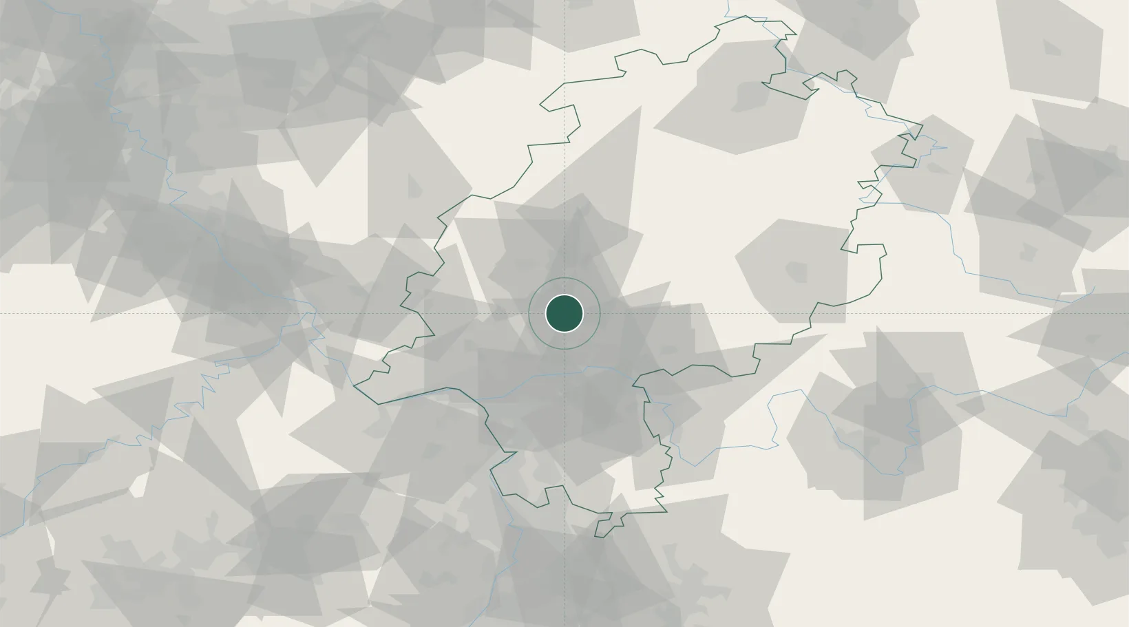
Nearby Logistics Neighbours

Cities
  1. 1Butzbach7 km
  2. 2Rosbach vor der Hohe8 km
  3. 3Wölfersheim10 km
  4. 4Friedrichsdorf11 km
  5. 5Florstadt13 km
Nearest neighbours — logibook spatial index (haversine) over the source coordinates
Ports
  1. 1Oldenburg308 km
  2. 2Bremen308 km
  3. 3Papenburg317 km
  4. 4Elsfleth319 km
  5. 5Leer330 km
Nearest neighbours — logibook spatial index (haversine) over the source coordinates
Airports
  1. 1Frankfurt Main Airport39 km
  2. 2Wiesbaden Army Airfield44 km
  3. 3Frankfurt-Egelsbach Airport45 km
  4. 4Siegerland Airport57 km
  5. 5Mainz-Finthen Airfield59 km
Nearest neighbours — logibook spatial index (haversine) over the source coordinates
Trade Zones
  1. 1Rheinische Revier SWZ173 km
  2. 2ZFU La Cité Behren-lès-Forbach184 km
  3. 3Freeport of Duisburg190 km
  4. 4Luxembourg Free Port194 km
  5. 5ZFU Hautepierre210 km
Nearest neighbours — logibook spatial index (haversine) over the source coordinates
DatabookThe Record of Consolidated Knowledge
Germany beyond logistics?
Browse databook

All Sources

LocationsUN/LOCODE
UN/LOCODE — free
LocationsGeoNames
CC BY 4.0
Portsthe NGA World Port Index
Public domain (US gov)
AirportsOurAirports
Public domain
Trade Zonesthe World Bank SEZ database
CC BY 4.0
Trade ZonesOpen Zone Map
CC BY
← Germany locations