UN/LOCODE hub · Germany
DEN2D

Niederdorfelden

50.2000°, 8.8000°
2,925
Population
2
Transport functions

Transport Functions

Road
Multimodal
UN/LOCODE

Hub Profile

Place type
Local administrative seat
GeoNames
Region
Hesse
GeoNames
Population
2,925
GeoNames
Time zone
Europe/Berlin
GeoNames
Elevation
117 m
GeoNames

Location

Location of DEN2D
Natural Earth 10m (public domain) · Hesse · DEN2D · 50.20, 8.80GoogleOSMYandex

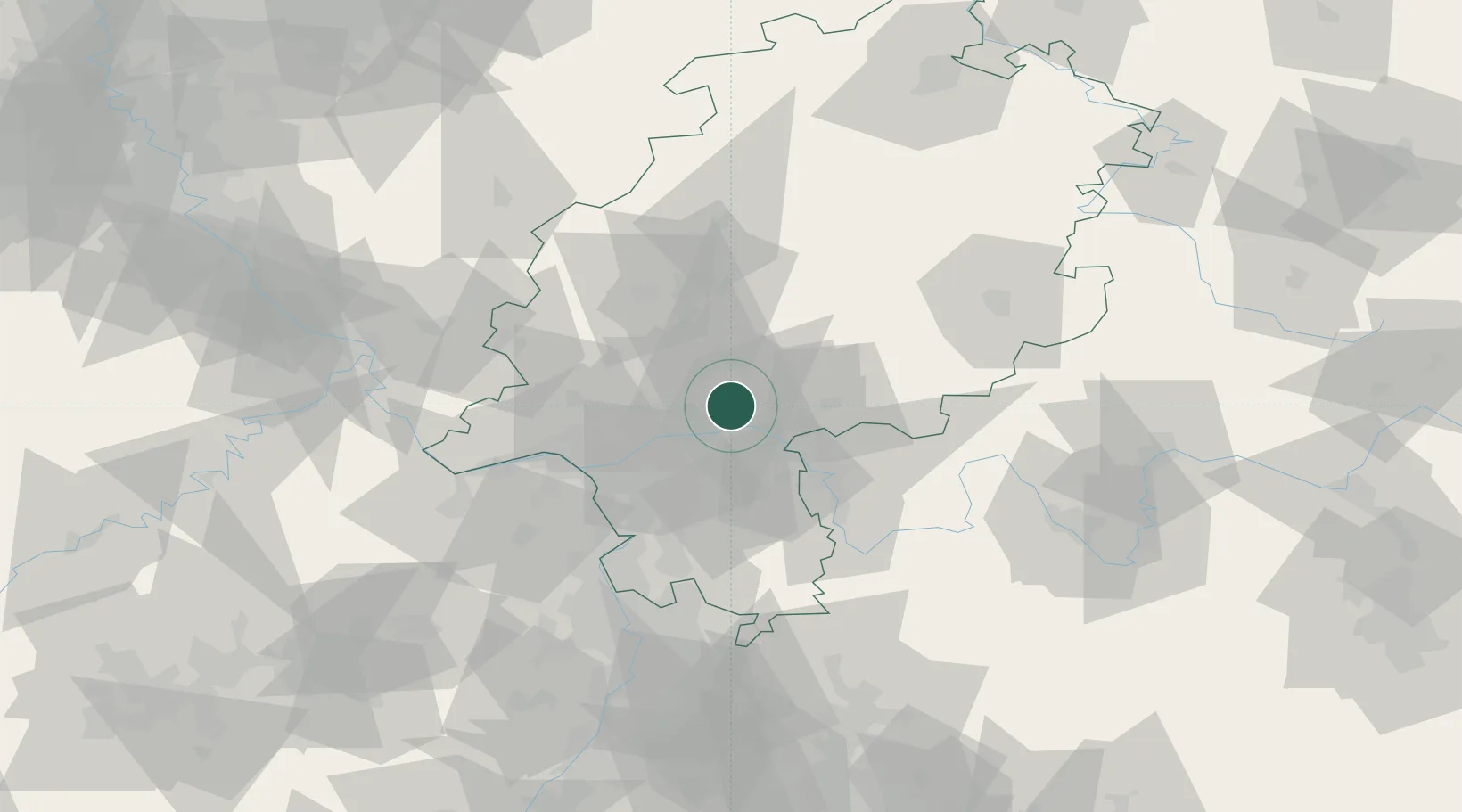
Nearby Logistics Neighbours

Cities
  1. 1Schöneck2 km
  2. 2Bruchköbel9 km
  3. 3Mühlheim am Main10 km
  4. 4Hanau10 km
  5. 5Kesselstadt11 km
Nearest neighbours — logibook spatial index (haversine) over the source coordinates
Ports
  1. 1Bremen326 km
  2. 2Oldenburg327 km
  3. 3Papenburg337 km
  4. 4Elsfleth338 km
  5. 5Brake349 km
Nearest neighbours — logibook spatial index (haversine) over the source coordinates
Airports
  1. 1Frankfurt Main Airport26 km
  2. 2Frankfurt-Egelsbach Airport29 km
  3. 3Wiesbaden Army Airfield38 km
  4. 4Mainz-Finthen Airfield53 km
  5. 5Siegerland Airport76 km
Nearest neighbours — logibook spatial index (haversine) over the source coordinates
Trade Zones
  1. 1ZFU La Cité Behren-lès-Forbach177 km
  2. 2Rheinische Revier SWZ188 km
  3. 3Luxembourg Free Port195 km
  4. 4ZFU Hautepierre196 km
  5. 5ZFU Neuhof199 km
Nearest neighbours — logibook spatial index (haversine) over the source coordinates
DatabookThe Record of Consolidated Knowledge
Germany beyond logistics?
Browse databook

All Sources

LocationsUN/LOCODE
UN/LOCODE — free
LocationsGeoNames
CC BY 4.0
Portsthe NGA World Port Index
Public domain (US gov)
AirportsOurAirports
Public domain
Trade Zonesthe World Bank SEZ database
CC BY 4.0
Trade ZonesOpen Zone Map
CC BY
← Germany locations