Transport Functions
Rail
Road
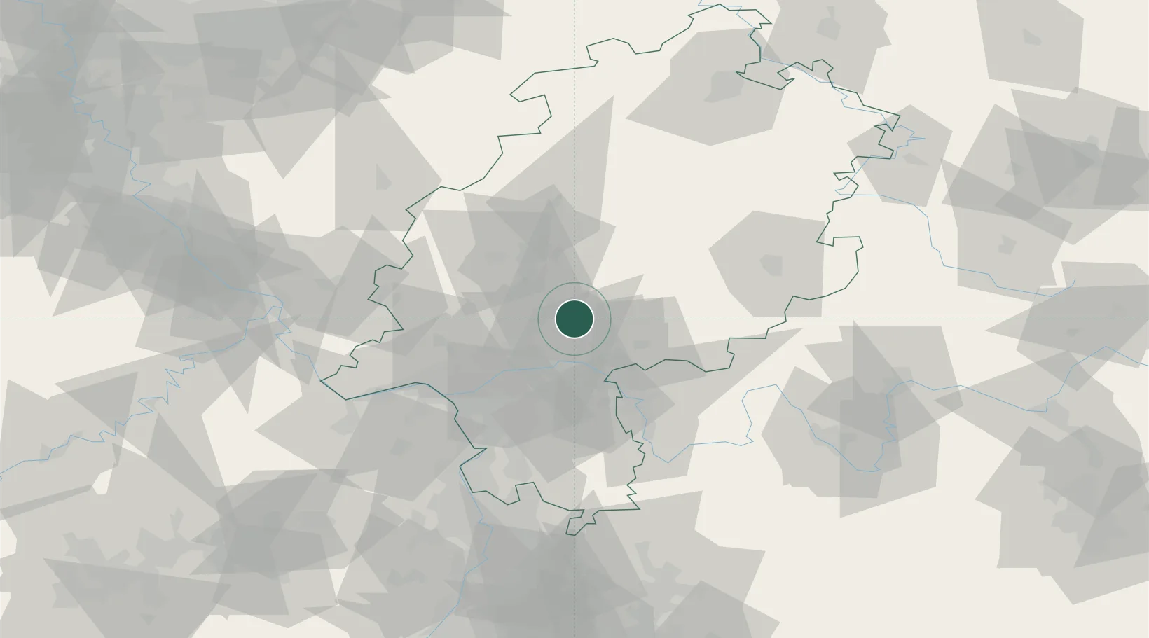
Hub Profile
Place type
Local administrative seat
Region
Hesse
Population
8,905
Time zone
Europe/Berlin
Elevation
136 m
Location
Nearby Logistics Neighbours
Cities
- 1Wölfersheim10 km
- 2Rosbach vor der Hohe10 km
- 3Ranstadt10 km
- 4Glauburg11 km
- 5Schöneck13 km
Airports
- 1Frankfurt Main Airport38 km
- 2Frankfurt-Egelsbach Airport42 km
- 3Wiesbaden Army Airfield48 km
- 4Mainz-Finthen Airfield63 km
- 5Siegerland Airport70 km
Trade Zones
- 1Rheinische Revier SWZ186 km
- 2ZFU La Cité Behren-lès-Forbach188 km
- 3Freeport of Duisburg202 km
- 4Luxembourg Free Port202 km
- 5ZFU Hautepierre209 km
DatabookThe Record of Consolidated Knowledge
Germany beyond logistics?