Transport Functions
Rail
Road
Hub Profile
Place type
Local administrative seat
Region
Hesse
Population
9,610
Time zone
Europe/Berlin
Elevation
153 m
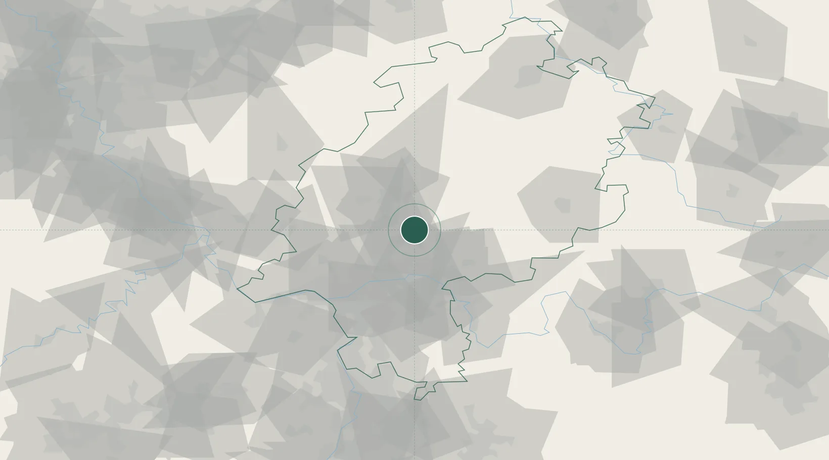
Location
Nearby Logistics Neighbours
Cities
- 1Florstadt10 km
- 2Butzbach10 km
- 3Ober-Mörlen10 km
- 4Birklar11 km
- 5Lich13 km
Airports
- 1Frankfurt Main Airport45 km
- 2Frankfurt-Egelsbach Airport51 km
- 3Wiesbaden Army Airfield52 km
- 4Siegerland Airport62 km
- 5Mainz-Finthen Airfield68 km
Trade Zones
- 1Rheinische Revier SWZ181 km
- 2ZFU La Cité Behren-lès-Forbach193 km
- 3Freeport of Duisburg195 km
- 4Luxembourg Free Port204 km
- 5ZFU Hautepierre217 km
DatabookThe Record of Consolidated Knowledge
Germany beyond logistics?