Transport Functions
Rail
Road
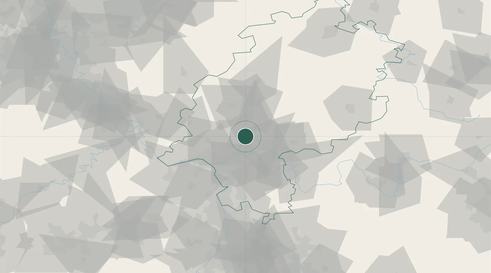
Hub Profile
Place type
Populated place
Region
Hesse
Population
24,435
Time zone
Europe/Berlin
Elevation
202 m
Location
Nearby Logistics Neighbours
Cities
- 1Rosbach vor der Hohe6 km
- 2Ober-Mörlen11 km
- 3Neu-Anspach12 km
- 4Niederdorfelden13 km
- 5Schöneck15 km
Airports
- 1Frankfurt Main Airport28 km
- 2Wiesbaden Army Airfield33 km
- 3Frankfurt-Egelsbach Airport34 km
- 4Mainz-Finthen Airfield49 km
- 5Siegerland Airport63 km
Trade Zones
- 1ZFU La Cité Behren-lès-Forbach174 km
- 2Rheinische Revier SWZ175 km
- 3Luxembourg Free Port187 km
- 4Freeport of Duisburg195 km
- 5ZFU Hautepierre198 km
DatabookThe Record of Consolidated Knowledge
Germany beyond logistics?