Transport Functions
Port
Rail
Road
Hub Profile
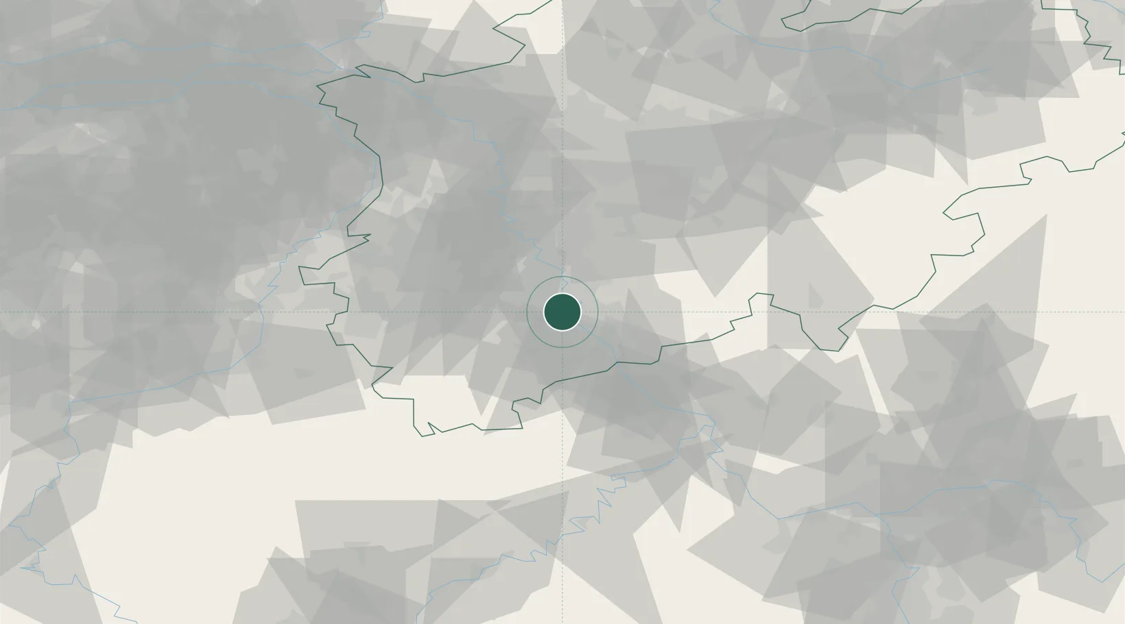
Place type
Populated place
Region
North Rhine-Westphalia
Time zone
Europe/Berlin
Elevation
53 m
Location
Nearby Logistics Neighbours
Cities
- 1Lülsdorf2 km
- 2Brühl5 km
- 3Niederkassel6 km
- 4Köln10 km
- 5Mondorf10 km
Airports
- 1Cologne Bonn Airport13 km
- 2Nörvenich Air Base22 km
- 3Düsseldorf Airport51 km
- 4Mönchengladbach Airport53 km
- 5Geilenkirchen Air Base66 km
Trade Zones
- 1Rheinische Revier SWZ42 km
- 2Freeport of Duisburg71 km
- 3Luxembourg Free Port145 km
- 4ZFU La Cité Behren-lès-Forbach187 km
- 5ZFU Woippy-Metz198 km
DatabookThe Record of Consolidated Knowledge
Germany beyond logistics?