Transport Functions
Port
Road
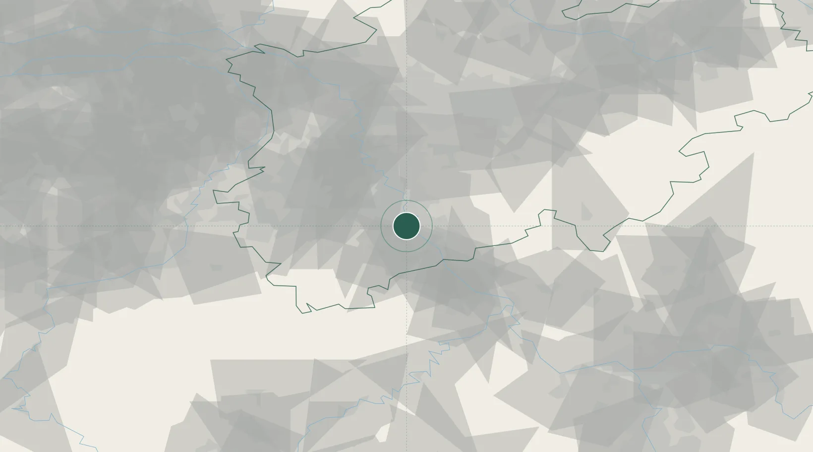
Hub Profile
Region
NW
Location
Nearby Logistics Neighbours
Cities
- 1Godorf2 km
- 2Niederkassel4 km
- 3Brühl6 km
- 4Mondorf8 km
- 5Grau Rheindorf11 km
Airports
- 1Cologne Bonn Airport12 km
- 2Nörvenich Air Base23 km
- 3Düsseldorf Airport53 km
- 4Mönchengladbach Airport55 km
- 5Geilenkirchen Air Base68 km
Trade Zones
- 1Rheinische Revier SWZ43 km
- 2Freeport of Duisburg74 km
- 3Luxembourg Free Port143 km
- 4ZFU La Cité Behren-lès-Forbach185 km
- 5ZFU Woippy-Metz196 km
DatabookThe Record of Consolidated Knowledge
Germany beyond logistics?