Transport Functions
Rail
Road
Hub Profile
Place type
Local administrative seat
Region
Baden-Wurttemberg
Population
14,262
Time zone
Europe/Berlin
Elevation
100 m
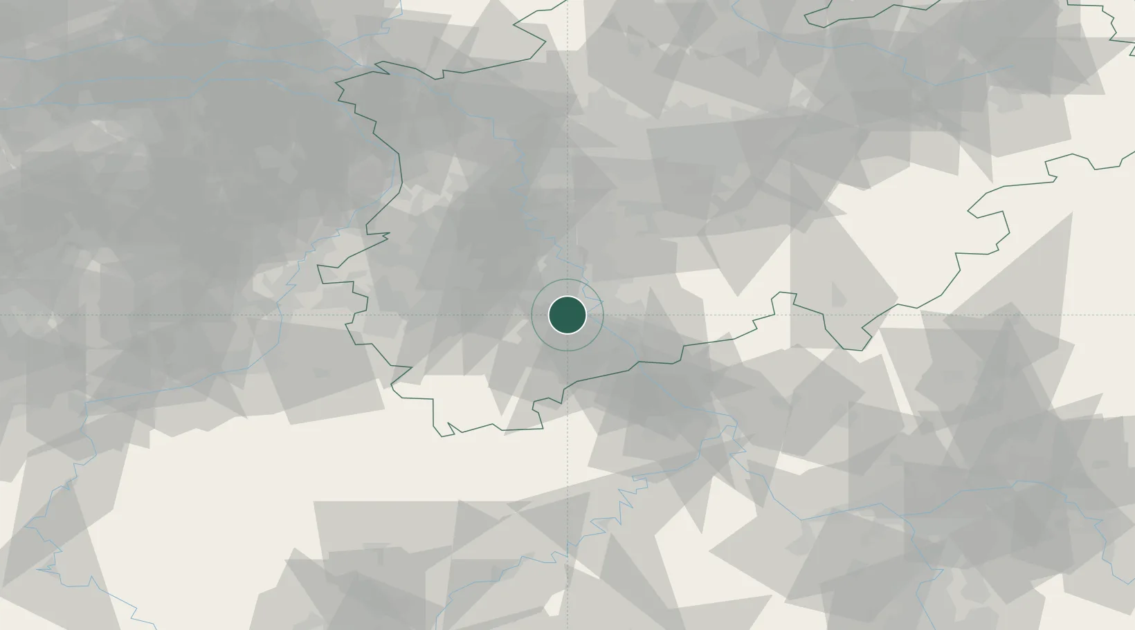
Location
Nearby Logistics Neighbours
Cities
- 1Godorf5 km
- 2Lülsdorf6 km
- 3Weilerswist9 km
- 4Niederkassel10 km
- 5Köln12 km
Airports
- 1Nörvenich Air Base17 km
- 2Cologne Bonn Airport17 km
- 3Düsseldorf Airport52 km
- 4Mönchengladbach Airport52 km
- 5Geilenkirchen Air Base62 km
Trade Zones
- 1Rheinische Revier SWZ37 km
- 2Freeport of Duisburg72 km
- 3Luxembourg Free Port141 km
- 4ZFU La Cité Behren-lès-Forbach185 km
- 5ZFU Woippy-Metz195 km
DatabookThe Record of Consolidated Knowledge
Germany beyond logistics?