UN/LOCODE hub · Germany
DEKOB

Koblenz am Rhein

50.3940°, 7.5892°
3
Transport functions

Transport Functions

Port
Rail
Road
UN/LOCODE

Hub Profile

Region
RP
GeoNames
Logistics facilities
1
UN/LOCODE

Location

Location of DEKOB
Natural Earth 10m (public domain) · RP · DEKOB · 50.39, 7.59GoogleOSMYandex

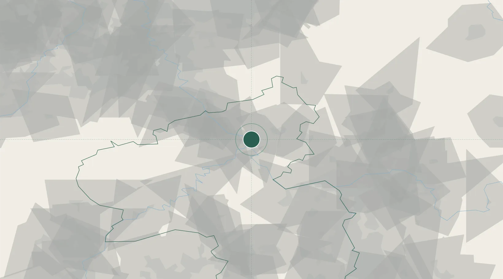
Nearby Logistics Neighbours

Cities
  1. 1Vallendar2 km
  2. 2Weitersburg3 km
  3. 3Bendorf/Rhein3 km
  4. 4Urmitz5 km
  5. 5Ehrenbreitstein5 km
Nearest neighbours — logibook spatial index (haversine) over the source coordinates
Ports
  1. 1Bruxelles234 km
  2. 2Antwerpen242 km
  3. 3Dordrecht259 km
  4. 4Rotterdam274 km
  5. 5Hansweert278 km
Nearest neighbours — logibook spatial index (haversine) over the source coordinates
Airports
  1. 1Büchel Air Base45 km
  2. 2Siegerland Airport49 km
  3. 3Frankfurt-Hahn Airport55 km
  4. 4Cologne Bonn Airport61 km
  5. 5Mainz-Finthen Airfield62 km
Nearest neighbours — logibook spatial index (haversine) over the source coordinates
Trade Zones
  1. 1Rheinische Revier SWZ103 km
  2. 2Luxembourg Free Port129 km
  3. 3Freeport of Duisburg137 km
  4. 4ZFU La Cité Behren-lès-Forbach145 km
  5. 5ZFU Woippy-Metz173 km
Nearest neighbours — logibook spatial index (haversine) over the source coordinates
DatabookThe Record of Consolidated Knowledge
Germany beyond logistics?
Browse databook

All Sources

LocationsUN/LOCODE
UN/LOCODE — free
Portsthe NGA World Port Index
Public domain (US gov)
AirportsOurAirports
Public domain
Trade Zonesthe World Bank SEZ database
CC BY 4.0
Trade ZonesOpen Zone Map
CC BY
← Germany locations