Transport Functions
Multimodal
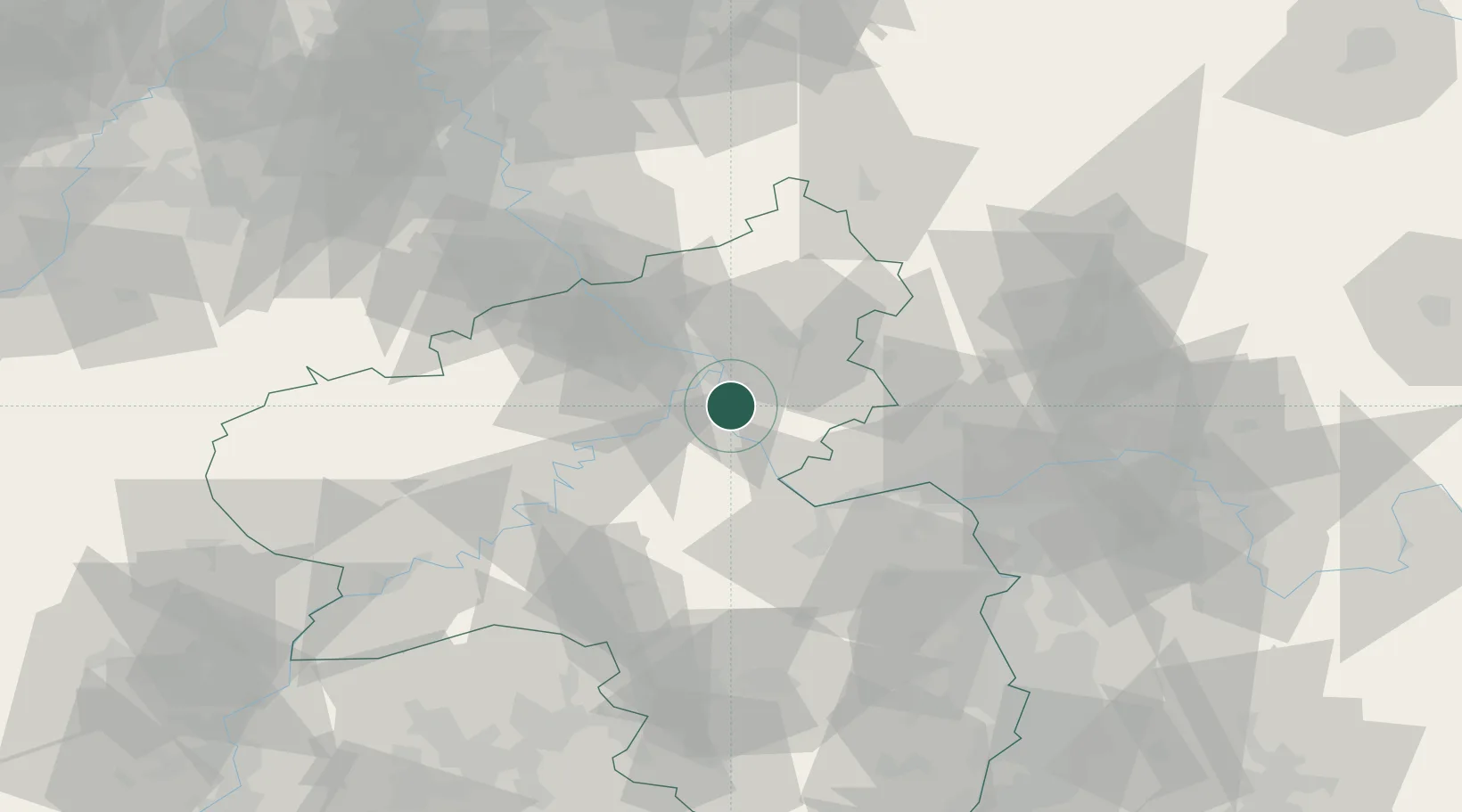
Hub Profile
Place type
Populated place
Region
Rheinland-Pfalz
Time zone
Europe/Berlin
Elevation
206 m
Location
Nearby Logistics Neighbours
Cities
- 1Spay2 km
- 2Braubach3 km
- 3Boppard4 km
- 4Ehrenbreitstein9 km
- 5Bad Ems10 km
Airports
- 1Büchel Air Base42 km
- 2Frankfurt-Hahn Airport44 km
- 3Mainz-Finthen Airfield50 km
- 4Wiesbaden Army Airfield55 km
- 5Siegerland Airport59 km
Trade Zones
- 1Rheinische Revier SWZ114 km
- 2Luxembourg Free Port123 km
- 3ZFU La Cité Behren-lès-Forbach132 km
- 4Freeport of Duisburg150 km
- 5ZFU Woippy-Metz164 km
DatabookThe Record of Consolidated Knowledge
Germany beyond logistics?