UN/LOCODE hub · Germany
DEEBI

Ehrenbreitstein

50.3500°, 7.6167°
2
Transport functions

Transport Functions

Port
Road
UN/LOCODE

Hub Profile

Place type
Urban district
GeoNames
Region
Rheinland-Pfalz
GeoNames
Time zone
Europe/Berlin
GeoNames
Elevation
167 m
GeoNames

Location

Location of DEEBI
Natural Earth 10m (public domain) · Rheinland-Pfalz · DEEBI · 50.35, 7.62GoogleOSMYandex

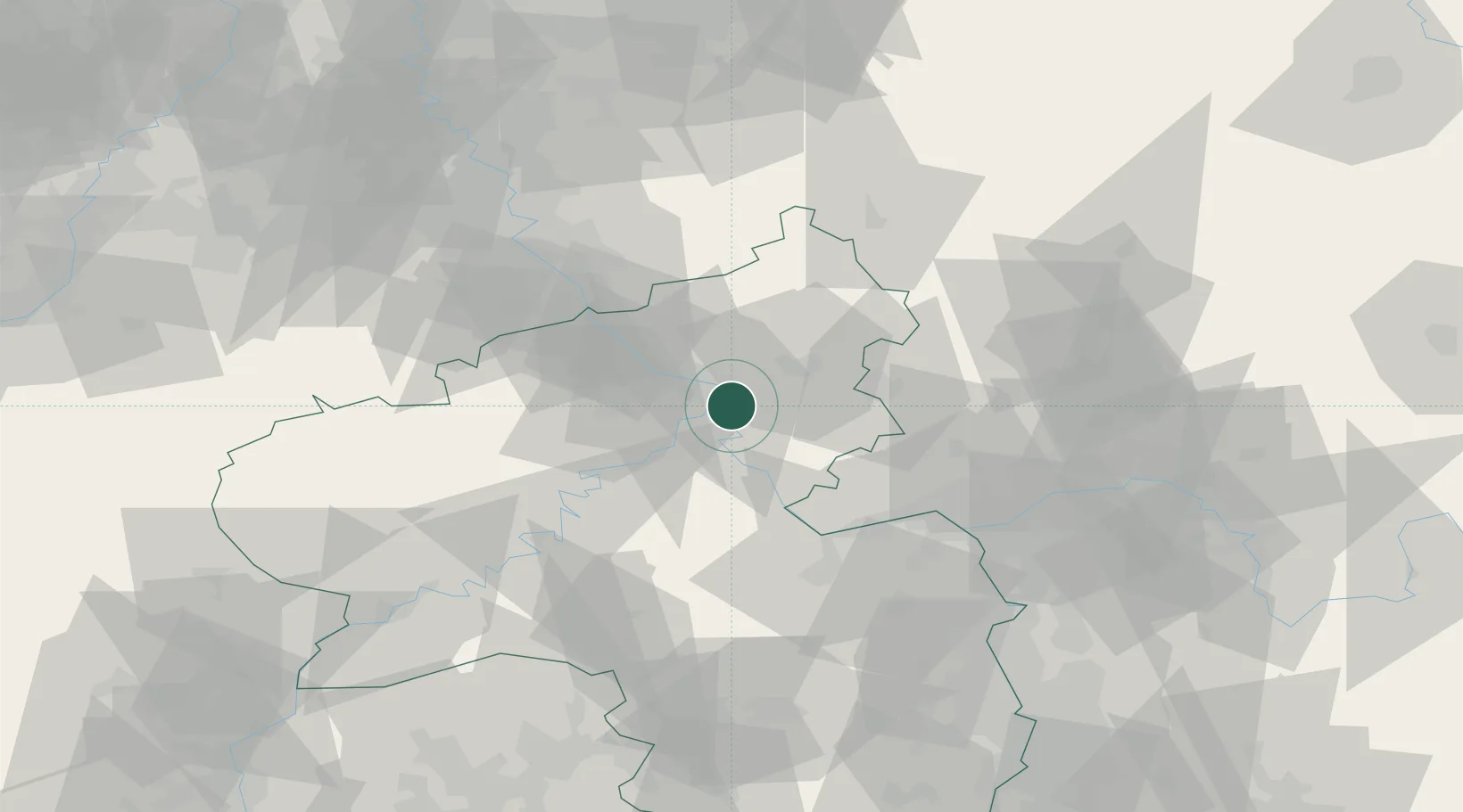
Nearby Logistics Neighbours

Cities
  1. 1Koblenz am Rhein5 km
  2. 2Vallendar6 km
  3. 3Bad Ems7 km
  4. 4Weitersburg8 km
  5. 5Winningen8 km
Nearest neighbours — logibook spatial index (haversine) over the source coordinates
Ports
  1. 1Bruxelles238 km
  2. 2Antwerpen246 km
  3. 3Dordrecht264 km
  4. 4Rotterdam278 km
  5. 5Hansweert282 km
Nearest neighbours — logibook spatial index (haversine) over the source coordinates
Airports
  1. 1Büchel Air Base44 km
  2. 2Frankfurt-Hahn Airport52 km
  3. 3Siegerland Airport52 km
  4. 4Mainz-Finthen Airfield57 km
  5. 5Wiesbaden Army Airfield61 km
Nearest neighbours — logibook spatial index (haversine) over the source coordinates
Trade Zones
  1. 1Rheinische Revier SWZ107 km
  2. 2Luxembourg Free Port127 km
  3. 3ZFU La Cité Behren-lès-Forbach141 km
  4. 4Freeport of Duisburg142 km
  5. 5ZFU Woippy-Metz170 km
Nearest neighbours — logibook spatial index (haversine) over the source coordinates
DatabookThe Record of Consolidated Knowledge
Germany beyond logistics?
Browse databook

All Sources

LocationsUN/LOCODE
UN/LOCODE — free
Portsthe NGA World Port Index
Public domain (US gov)
AirportsOurAirports
Public domain
Trade Zonesthe World Bank SEZ database
CC BY 4.0
Trade ZonesOpen Zone Map
CC BY
← Germany locations