Transport Functions
Multimodal
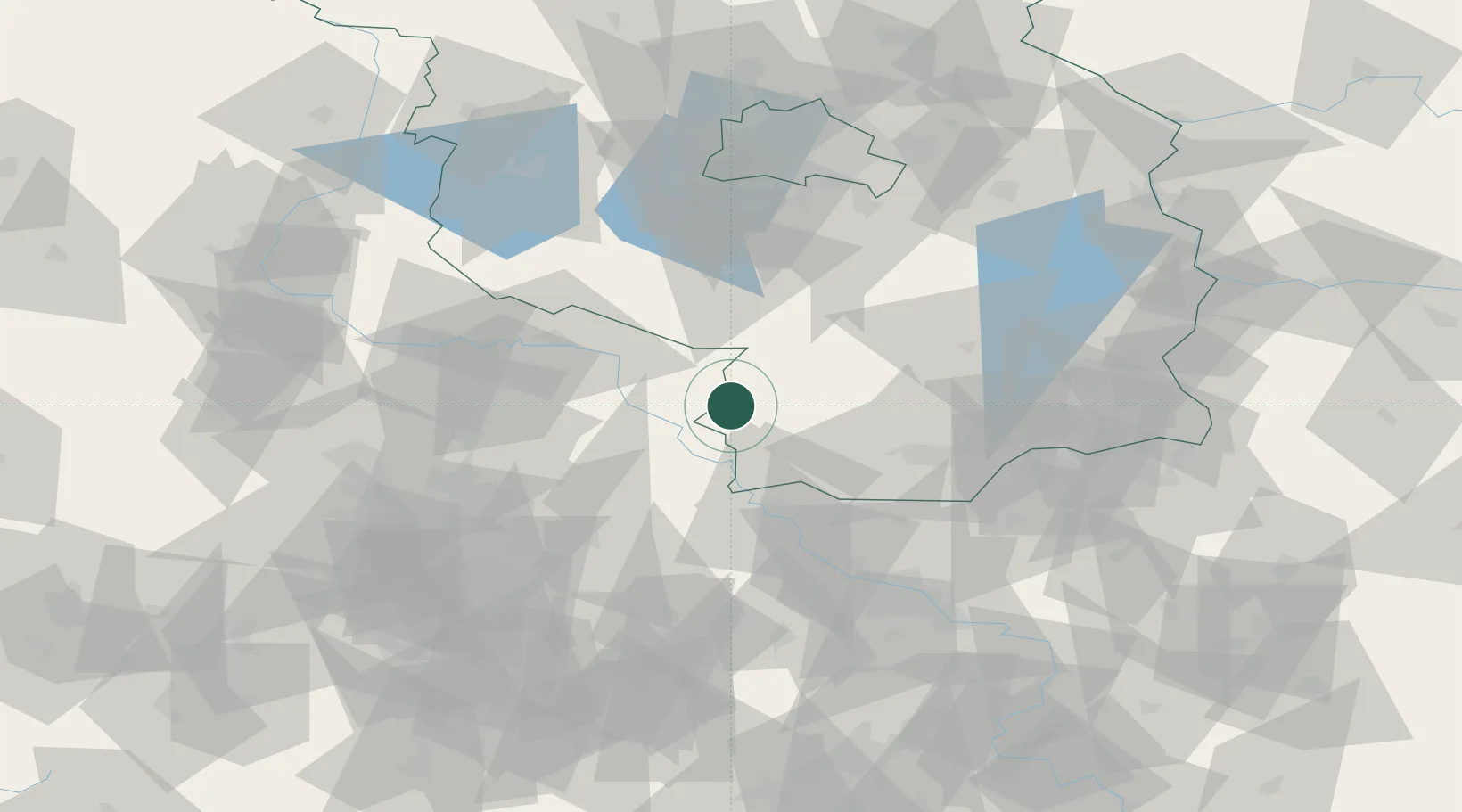
Hub Profile
Place type
Populated place
Region
Saxony
Population
7,568
Time zone
Europe/Berlin
Elevation
208 m
Location
Nearby Logistics Neighbours
Cities
- 1Uebigau12 km
- 2Prettin18 km
- 3Jessen21 km
- 4Belgern21 km
- 5Martinskirchen22 km
Ports
- 1Szczecin215 km
- 2Police231 km
- 3Swinoujscie261 km
- 4Wolgast268 km
- 5Wismar274 km
Airports
- 1Holzdorf Air Base11 km
- 2Leipzig/Halle Airport71 km
- 3Dresden Airport72 km
- 4Zerbst Airfield80 km
- 5Berlin Brandenburg Airport80 km
Trade Zones
DatabookThe Record of Consolidated Knowledge
Germany beyond logistics?