Transport Functions
Rail
Road
Multimodal
Hub Profile
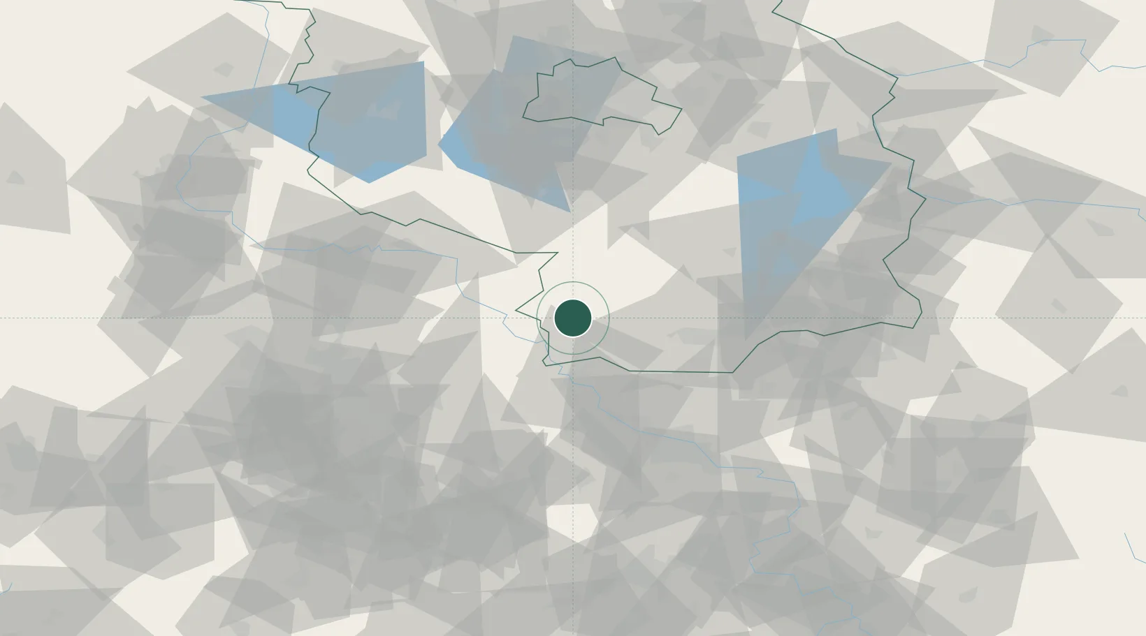
Place type
Populated place
Region
Brandenburg
Population
2,300
Time zone
Europe/Berlin
Elevation
87 m
Location
Nearby Logistics Neighbours
Cities
- 1Bad Liebenwerda10 km
- 2Rosswein12 km
- 3Schönborn14 km
- 4Oschätzchen14 km
- 5Martinskirchen15 km
Ports
- 1Szczecin221 km
- 2Police237 km
- 3Swinoujscie268 km
- 4Wolgast276 km
- 5Wismar286 km
Airports
- 1Holzdorf Air Base22 km
- 2Dresden Airport60 km
- 3Leipzig/Halle Airport76 km
- 4Leipzig–Altenburg Airport87 km
- 5Berlin Brandenburg Airport88 km
Trade Zones
DatabookThe Record of Consolidated Knowledge
Germany beyond logistics?