Transport Functions
Port
Rail
Road
Hub Profile
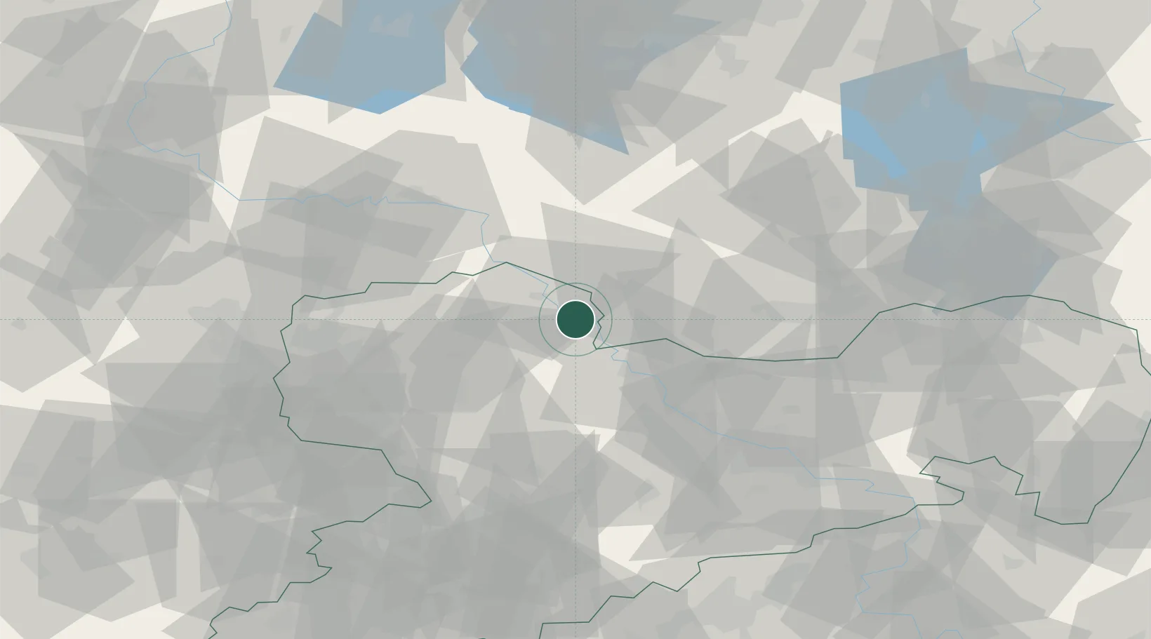
Place type
Populated place
Region
Saxony
Population
5,148
Time zone
Europe/Berlin
Elevation
113 m
Location
Nearby Logistics Neighbours
Cities
- 1Martinskirchen5 km
- 2Mühlberg9 km
- 3Kabelsketal10 km
- 4Kreinitz15 km
- 5Dahlen15 km
Ports
- 1Szczecin236 km
- 2Police252 km
- 3Swinoujscie281 km
- 4Wolgast289 km
- 5Wismar291 km
Airports
- 1Holzdorf Air Base32 km
- 2Dresden Airport60 km
- 3Leipzig/Halle Airport62 km
- 4Leipzig–Altenburg Airport70 km
- 5Zerbst Airfield88 km
Trade Zones
DatabookThe Record of Consolidated Knowledge
Germany beyond logistics?