Transport Functions
Port
Road
Hub Profile
Place type
Populated place
Region
Brandenburg
Time zone
Europe/Berlin
Elevation
89 m
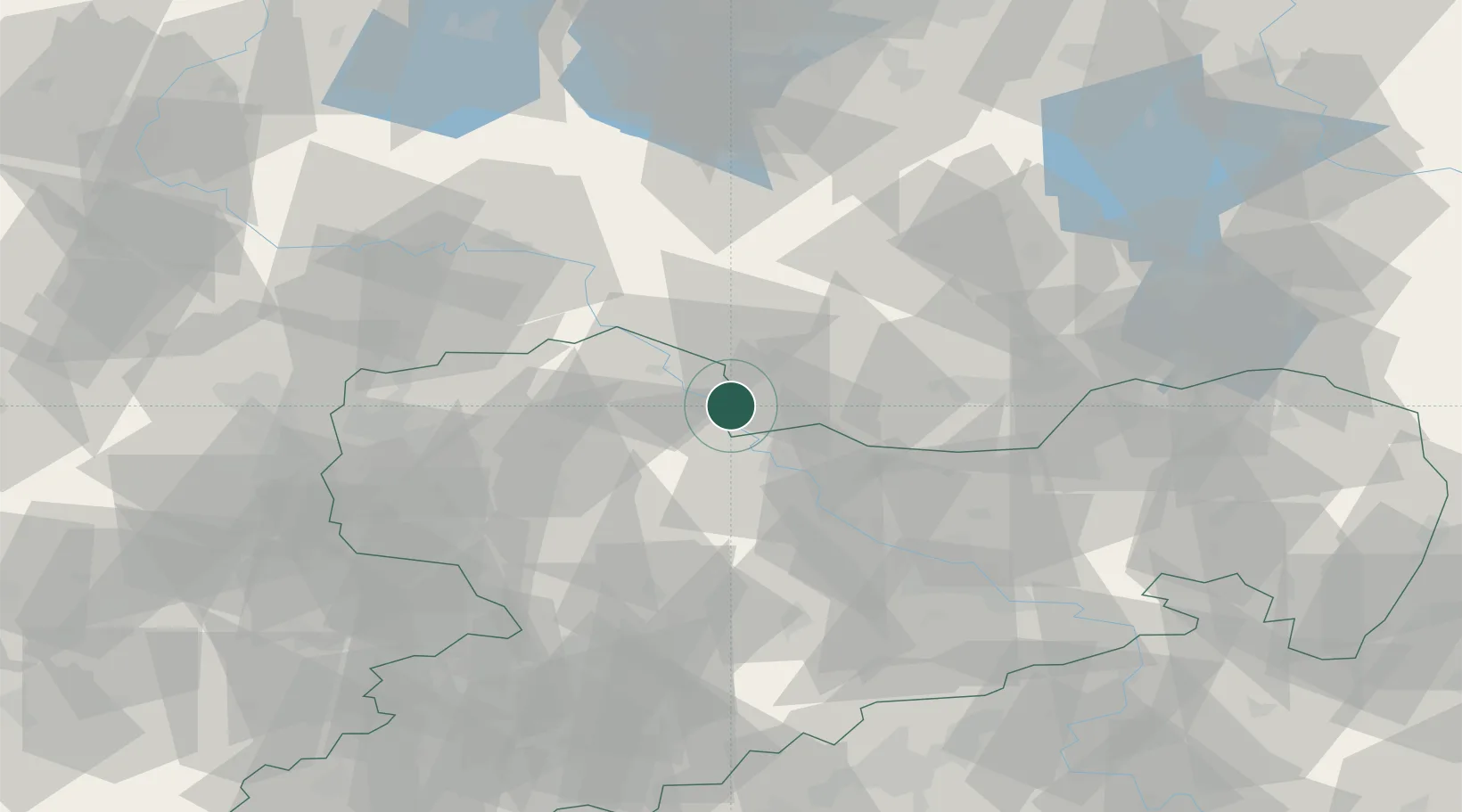
Location
Nearby Logistics Neighbours
Cities
- 1Mühlberg4 km
- 2Belgern5 km
- 3Kreinitz12 km
- 4Strehla/Elbe13 km
- 5Kabelsketal13 km
Ports
- 1Szczecin236 km
- 2Police252 km
- 3Swinoujscie282 km
- 4Wolgast290 km
- 5Wismar294 km
Airports
- 1Holzdorf Air Base34 km
- 2Dresden Airport55 km
- 3Leipzig/Halle Airport66 km
- 4Leipzig–Altenburg Airport72 km
- 5Zerbst Airfield93 km
Trade Zones
DatabookThe Record of Consolidated Knowledge
Germany beyond logistics?