Transport Functions
Port
Road
Hub Profile
Place type
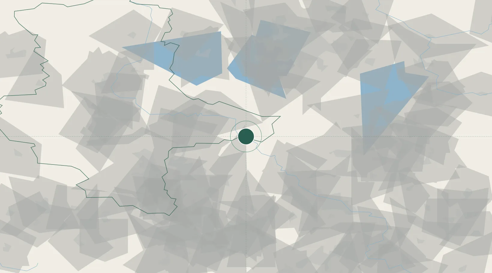
Populated place
Region
Saxony-Anhalt
Population
2,128
Time zone
Europe/Berlin
Elevation
81 m
Location
Nearby Logistics Neighbours
Cities
- 1Pretzsch (Elbe)10 km
- 2Jessen13 km
- 3Rosswein18 km
- 4Elster19 km
- 5Söllichau20 km
Ports
- 1Szczecin224 km
- 2Police239 km
- 3Swinoujscie266 km
- 4Wismar267 km
- 5Wolgast271 km
Airports
- 1Holzdorf Air Base21 km
- 2Leipzig/Halle Airport55 km
- 3Zerbst Airfield65 km
- 4Leipzig–Altenburg Airport81 km
- 5Dresden Airport84 km
Trade Zones
DatabookThe Record of Consolidated Knowledge
Germany beyond logistics?