Transport Functions
Multimodal
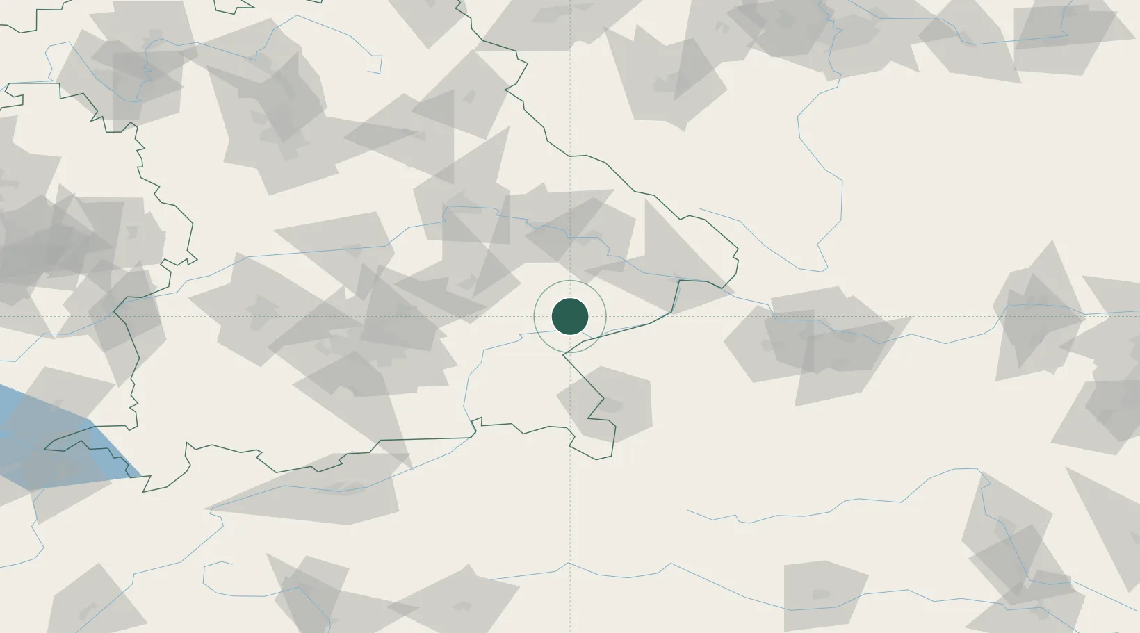
Hub Profile
Place type
Populated place
Region
Bavaria
Population
3,710
Time zone
Europe/Berlin
Elevation
497 m
Location
Nearby Logistics Neighbours
Cities
- 1Massing6 km
- 2Hebertsfelden6 km
- 3Marktl12 km
- 4Wimpassing12 km
- 5Neuötting14 km
Ports
- 1Nogaro290 km
- 2Monfalcone291 km
- 3Grado298 km
- 4Trieste309 km
- 5Muggia315 km
Airports
- 1Landshut Airfield58 km
- 2Salzburg Airport64 km
- 3Munich Airport74 km
- 4Ingolstadt Manching Airport101 km
- 5Linz-Hörsching Airport105 km
Trade Zones
DatabookThe Record of Consolidated Knowledge
Germany beyond logistics?