Transport Functions
Multimodal
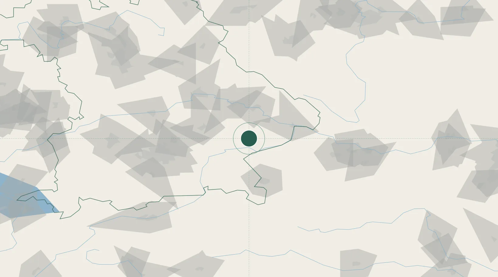
Hub Profile
Place type
Local administrative seat
Region
Bavaria
Population
3,756
Time zone
Europe/Berlin
Elevation
428 m
Location
Nearby Logistics Neighbours
Cities
- 1Massing5 km
- 2Wurmannsquick6 km
- 3Wimpassing15 km
- 4Marktl17 km
- 5Simbach19 km
Ports
- 1Nogaro295 km
- 2Monfalcone296 km
- 3Grado303 km
- 4Trieste314 km
- 5Muggia320 km
Airports
- 1Landshut Airfield59 km
- 2Salzburg Airport69 km
- 3Munich Airport76 km
- 4Ingolstadt Manching Airport101 km
- 5Linz-Hörsching Airport103 km
Trade Zones
DatabookThe Record of Consolidated Knowledge
Germany beyond logistics?