UN/LOCODE hub · Germany
DEMYY

Massing

48.4000°, 12.7500°
4,144
Population
1
Transport functions

Transport Functions

Multimodal
UN/LOCODE

Hub Profile

Place type
Populated place
GeoNames
Region
Bavaria
GeoNames
Population
4,144
GeoNames
Time zone
Europe/Berlin
GeoNames
Elevation
429 m
GeoNames

Location

Location of DEMYY
Natural Earth 10m (public domain) · Bavaria · DEMYY · 48.40, 12.75GoogleOSMYandex

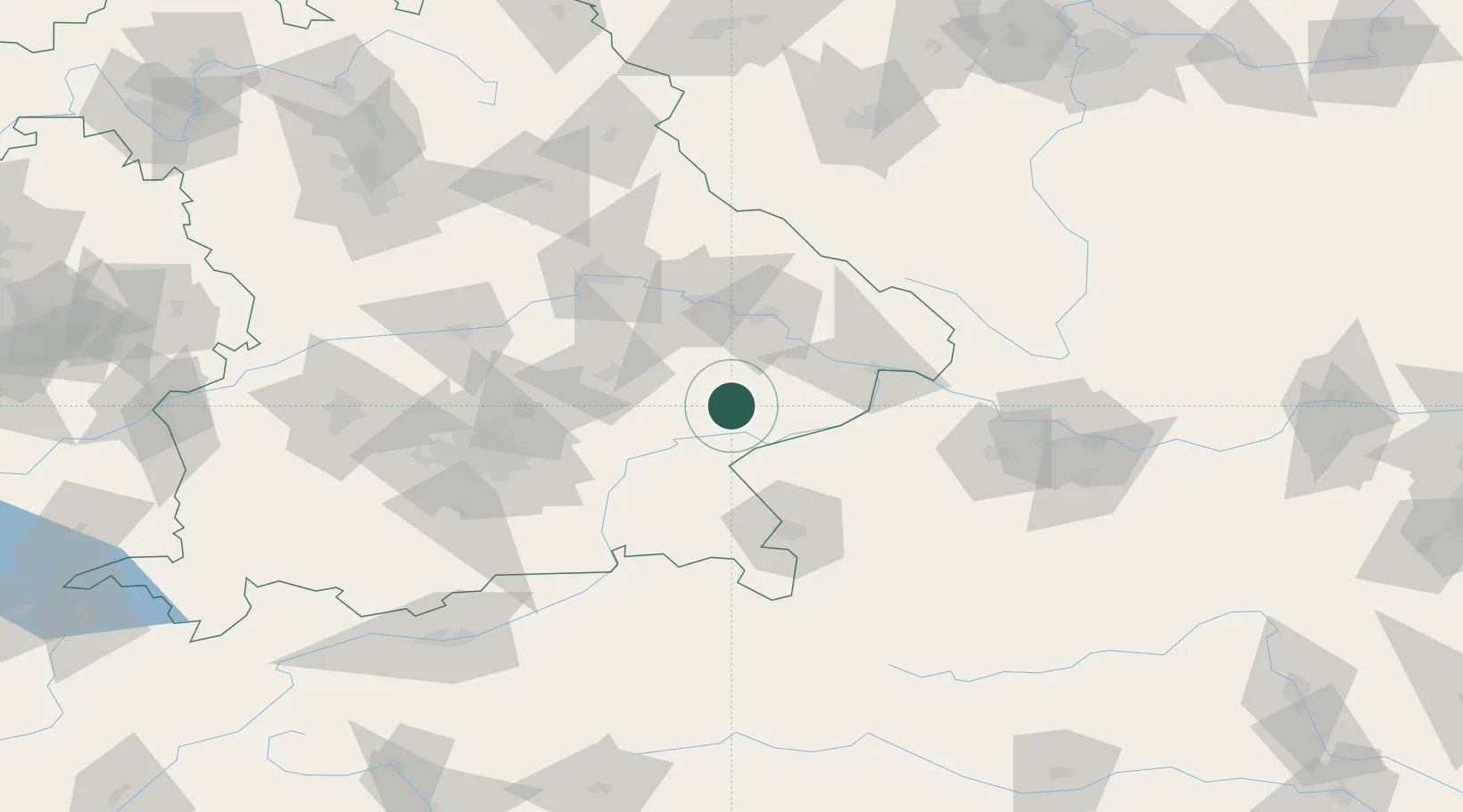
Nearby Logistics Neighbours

Cities
  1. 1Hebertsfelden5 km
  2. 2Wurmannsquick6 km
  3. 3Wimpassing18 km
  4. 4Marktl18 km
  5. 5Simbach19 km
Nearest neighbours — logibook spatial index (haversine) over the source coordinates
Ports
  1. 1Nogaro295 km
  2. 2Monfalcone297 km
  3. 3Grado303 km
  4. 4Trieste315 km
  5. 5Muggia321 km
Nearest neighbours — logibook spatial index (haversine) over the source coordinates
Airports
  1. 1Landshut Airfield54 km
  2. 2Salzburg Airport70 km
  3. 3Munich Airport71 km
  4. 4Ingolstadt Manching Airport96 km
  5. 5Linz-Hörsching Airport108 km
Nearest neighbours — logibook spatial index (haversine) over the source coordinates
Trade Zones
  1. 1Freeport of Deggendorf51 km
  2. 2Podbořany Industrial Zone209 km
  3. 3Žatec - Triangle Strategic Industrial Zone229 km
  4. 4Světlá nad Sázavou Municipal Industrial Zone240 km
  5. 5Most - Joseph Industrial Zone241 km
Nearest neighbours — logibook spatial index (haversine) over the source coordinates
DatabookThe Record of Consolidated Knowledge
Germany beyond logistics?
Browse databook

All Sources

LocationsUN/LOCODE
UN/LOCODE — free
LocationsGeoNames
CC BY 4.0
Portsthe NGA World Port Index
Public domain (US gov)
AirportsOurAirports
Public domain
Trade Zonesthe World Bank SEZ database
CC BY 4.0
Trade ZonesOpen Zone Map
CC BY
← Germany locations