Transport Functions
Multimodal
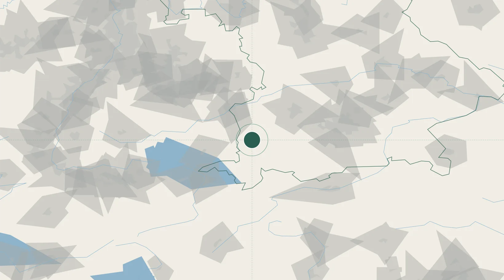
Hub Profile
Place type
Populated place
Region
Bavaria
Population
1,021
Time zone
Europe/Berlin
Elevation
690 m
Location
Nearby Logistics Neighbours
Cities
- 1Ungerhausen6 km
- 2Benningen6 km
- 3Memmingerberg7 km
- 4Engetried8 km
- 5Woringen9 km
Ports
- 1Porto Di Lido-Venezia327 km
- 2Nogaro328 km
- 3Grado340 km
- 4Porto Di Chioggia340 km
- 5Monfalcone346 km
Airports
- 1Memmingen Allgau Airport5 km
- 2Laupheim Air Base40 km
- 3Lechfeld Air Base48 km
- 4Bodensee Airport Friedrichshafen67 km
- 5Augsburg Airport69 km
Trade Zones
- 1Livigno Free Trade Zone160 km
- 2ZFU Neuhof198 km
- 3ZFU Hautepierre205 km
- 4Freeport of Deggendorf216 km
- 5ZFU Mulhouse222 km
DatabookThe Record of Consolidated Knowledge
Germany beyond logistics?