Transport Functions
Multimodal
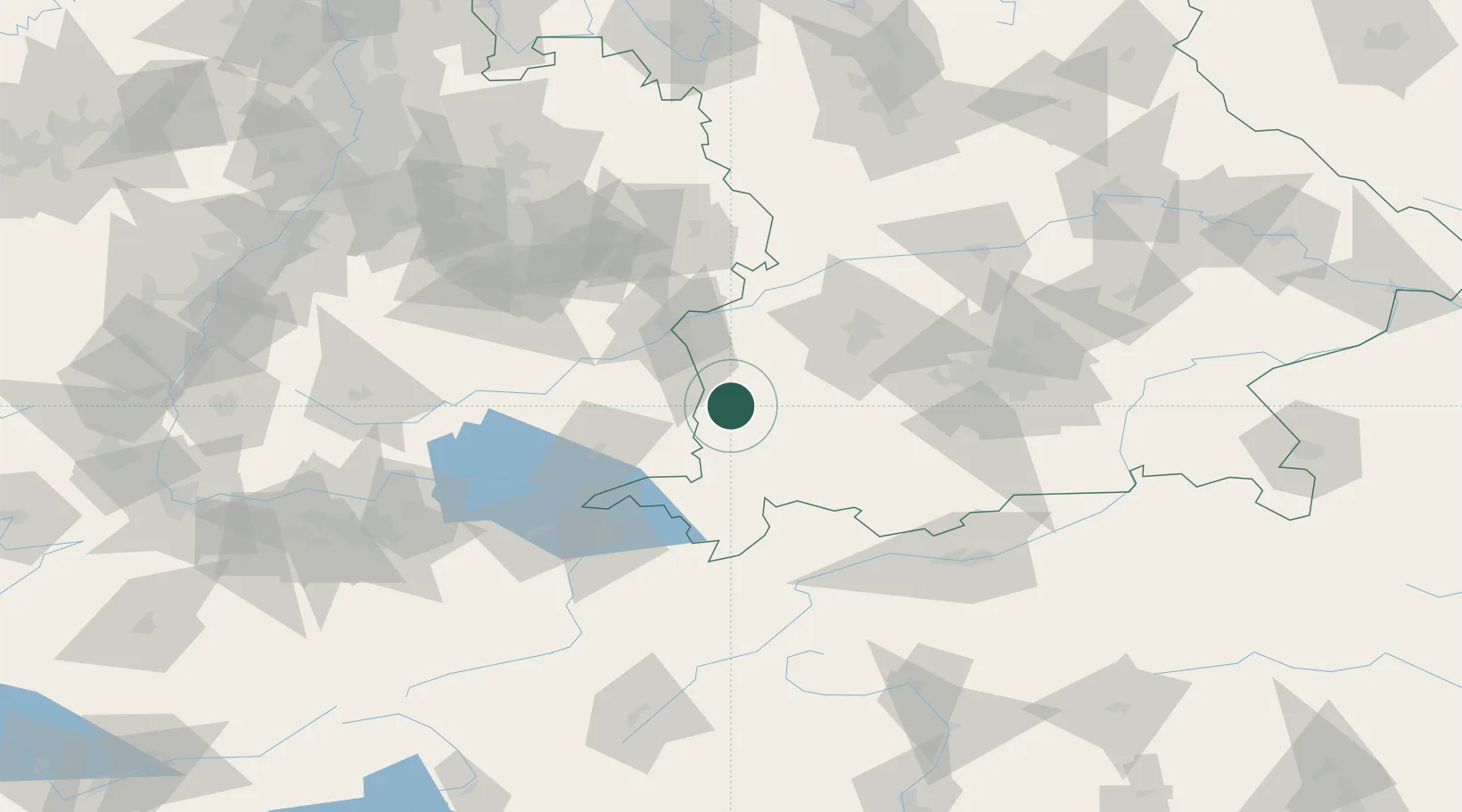
Hub Profile
Place type
Local administrative seat
Region
Bavaria
Population
1,056
Time zone
Europe/Berlin
Elevation
619 m
Location
Nearby Logistics Neighbours
Cities
- 1Lauben (Unterallgäu)4 km
- 2Memmingerberg5 km
- 3Wald6 km
- 4Benningen7 km
- 5Niederrieden7 km
Ports
- 1Porto Di Lido-Venezia333 km
- 2Nogaro334 km
- 3Grado346 km
- 4Porto Di Chioggia346 km
- 5Monfalcone352 km
Airports
- 1Memmingen Allgau Airport4 km
- 2Laupheim Air Base35 km
- 3Lechfeld Air Base48 km
- 4Mengen-Hohentengen Airfield67 km
- 5Augsburg Airport67 km
Trade Zones
- 1Livigno Free Trade Zone166 km
- 2ZFU Neuhof194 km
- 3ZFU Hautepierre201 km
- 4Freeport of Deggendorf215 km
- 5ZFU Mulhouse221 km
DatabookThe Record of Consolidated Knowledge
Germany beyond logistics?