Transport Functions
Multimodal
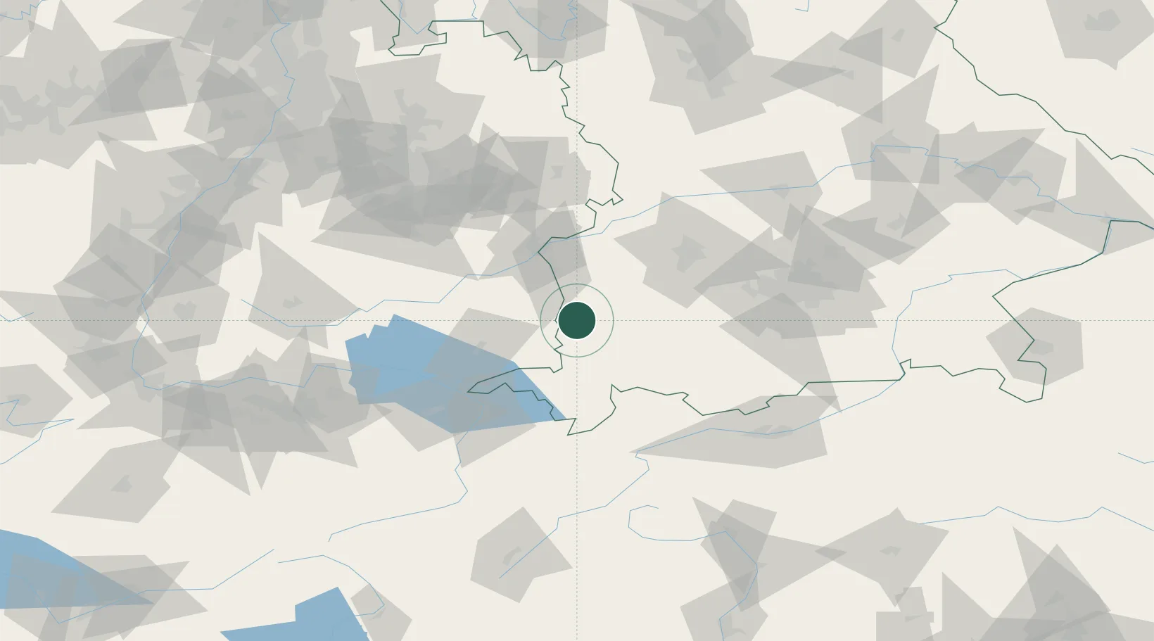
Hub Profile
Place type
Local administrative seat
Region
Bavaria
Population
2,118
Time zone
Europe/Berlin
Elevation
607 m
Location
Nearby Logistics Neighbours
Cities
- 1Memmingerberg2 km
- 2Woringen6 km
- 3Wald6 km
- 4Ungerhausen7 km
- 5Niederrieden10 km
Ports
- 1Porto Di Lido-Venezia330 km
- 2Nogaro333 km
- 3Porto Di Chioggia343 km
- 4Grado344 km
- 5Monfalcone351 km
Airports
Trade Zones
- 1Livigno Free Trade Zone160 km
- 2ZFU Neuhof193 km
- 3ZFU Hautepierre199 km
- 4ZFU Mulhouse216 km
- 5Freeport of Deggendorf221 km
DatabookThe Record of Consolidated Knowledge
Germany beyond logistics?