Transport Functions
Road
Multimodal
Hub Profile
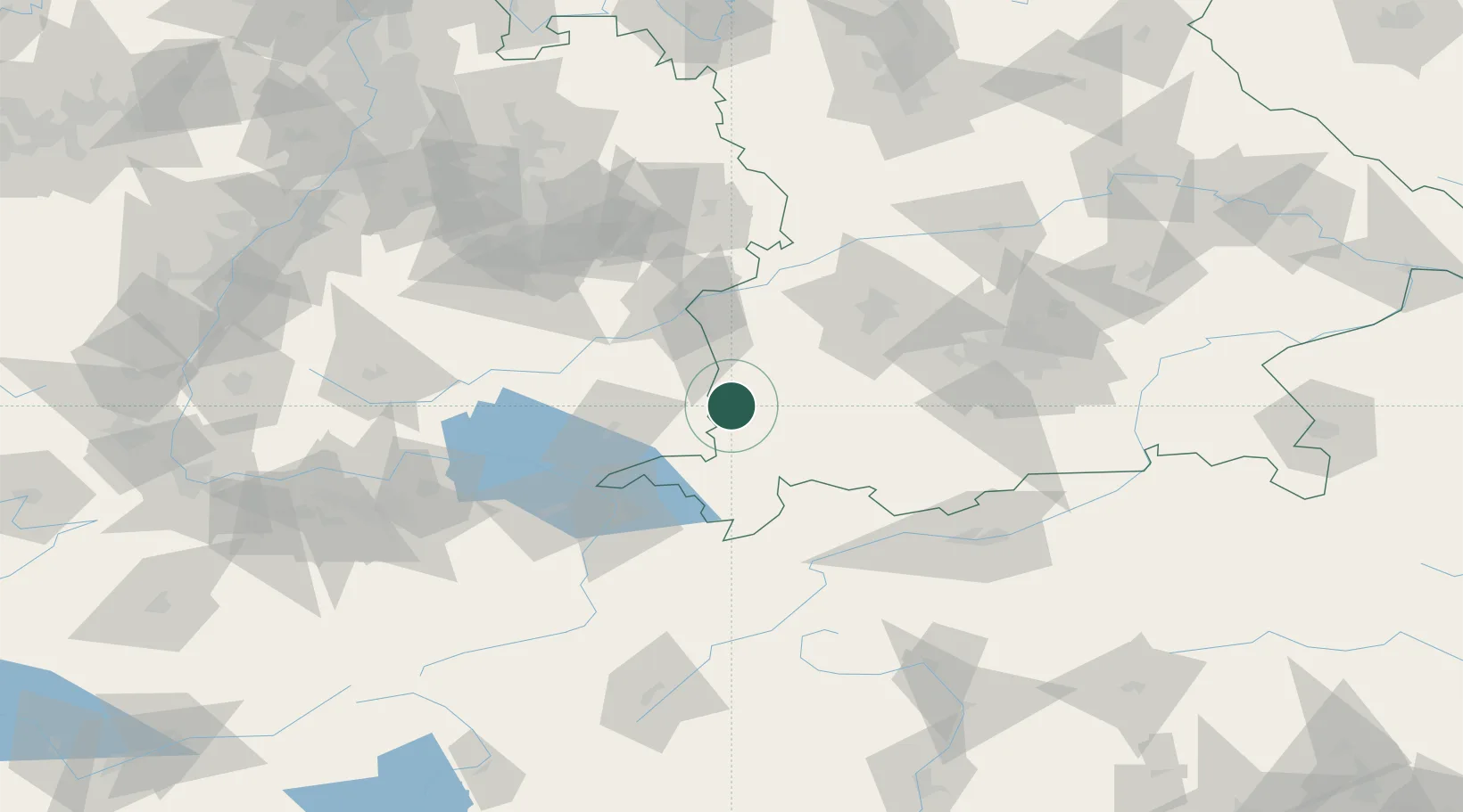
Place type
Local administrative seat
Region
Bavaria
Population
1,812
Time zone
Europe/Berlin
Elevation
638 m
Location
Nearby Logistics Neighbours
Cities
- 1Benningen6 km
- 2Wolfertschwenden6 km
- 3Memmingerberg8 km
- 4Legau9 km
- 5Wald9 km
Ports
- 1Porto Di Lido-Venezia326 km
- 2Nogaro329 km
- 3Porto Di Chioggia339 km
- 4Grado341 km
- 5Monfalcone348 km
Airports
Trade Zones
- 1Livigno Free Trade Zone154 km
- 2ZFU Neuhof193 km
- 3ZFU Hautepierre200 km
- 4ZFU Mulhouse215 km
- 5Freeport of Deggendorf225 km
DatabookThe Record of Consolidated Knowledge
Germany beyond logistics?