Transport Functions
Road
Multimodal
Hub Profile
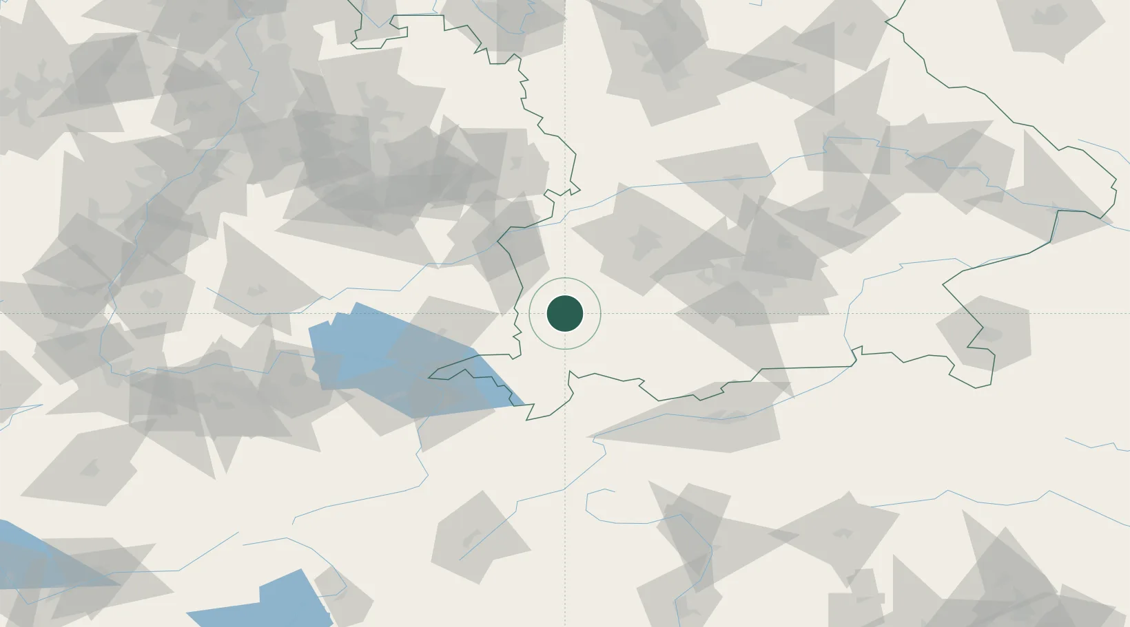
Place type
Populated place
Region
Bavaria
Time zone
Europe/Berlin
Elevation
676 m
Location
Nearby Logistics Neighbours
Cities
- 1Eggenthal8 km
- 2Wald8 km
- 3Obergünzburg9 km
- 4Dirlewang11 km
- 5Wolfertschwenden11 km
Ports
- 1Porto Di Lido-Venezia320 km
- 2Nogaro321 km
- 3Grado332 km
- 4Porto Di Chioggia334 km
- 5Monfalcone338 km
Airports
- 1Memmingen Allgau Airport14 km
- 2Lechfeld Air Base44 km
- 3Laupheim Air Base48 km
- 4Augsburg Airport67 km
- 5Oberpfaffenhofen Airport68 km
Trade Zones
- 1Livigno Free Trade Zone157 km
- 2ZFU Neuhof207 km
- 3Freeport of Deggendorf211 km
- 4ZFU Hautepierre214 km
- 5ZFU Mulhouse230 km
DatabookThe Record of Consolidated Knowledge
Germany beyond logistics?