Transport Functions
Multimodal
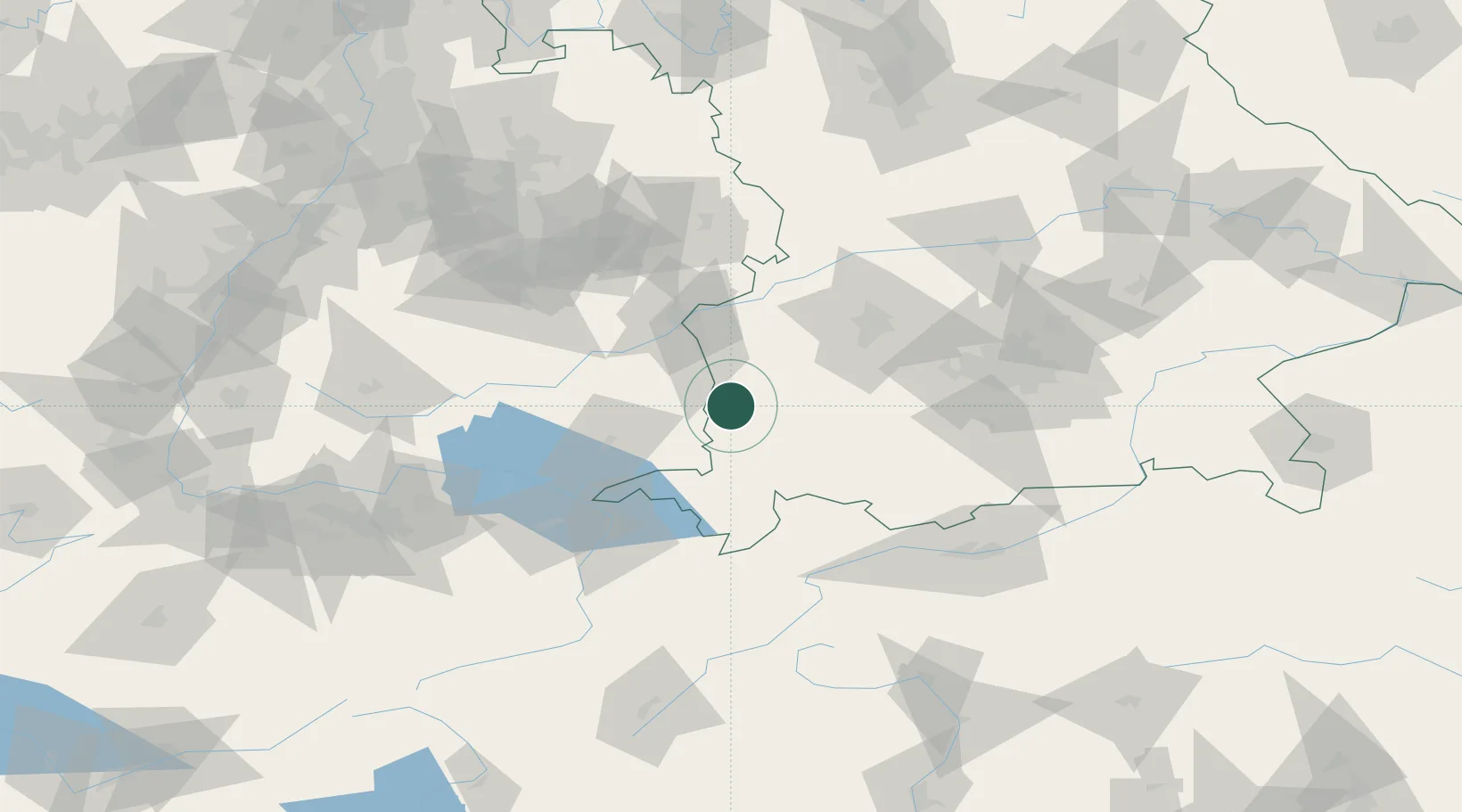
Hub Profile
Place type
Local administrative seat
Region
Bavaria
Population
2,579
Time zone
Europe/Berlin
Elevation
633 m
Location
Nearby Logistics Neighbours
Cities
- 1Benningen2 km
- 2Ungerhausen5 km
- 3Wald7 km
- 4Woringen8 km
- 5Niederrieden8 km
Ports
- 1Porto Di Lido-Venezia332 km
- 2Nogaro334 km
- 3Porto Di Chioggia345 km
- 4Grado346 km
- 5Monfalcone352 km
Airports
Trade Zones
- 1Livigno Free Trade Zone162 km
- 2ZFU Neuhof192 km
- 3ZFU Hautepierre199 km
- 4ZFU Mulhouse216 km
- 5Freeport of Deggendorf220 km
DatabookThe Record of Consolidated Knowledge
Germany beyond logistics?