Transport Functions
Road
Multimodal
Hub Profile
Place type
Local administrative seat
Region
Bavaria
Population
1,126
Time zone
Europe/Berlin
Elevation
245 m
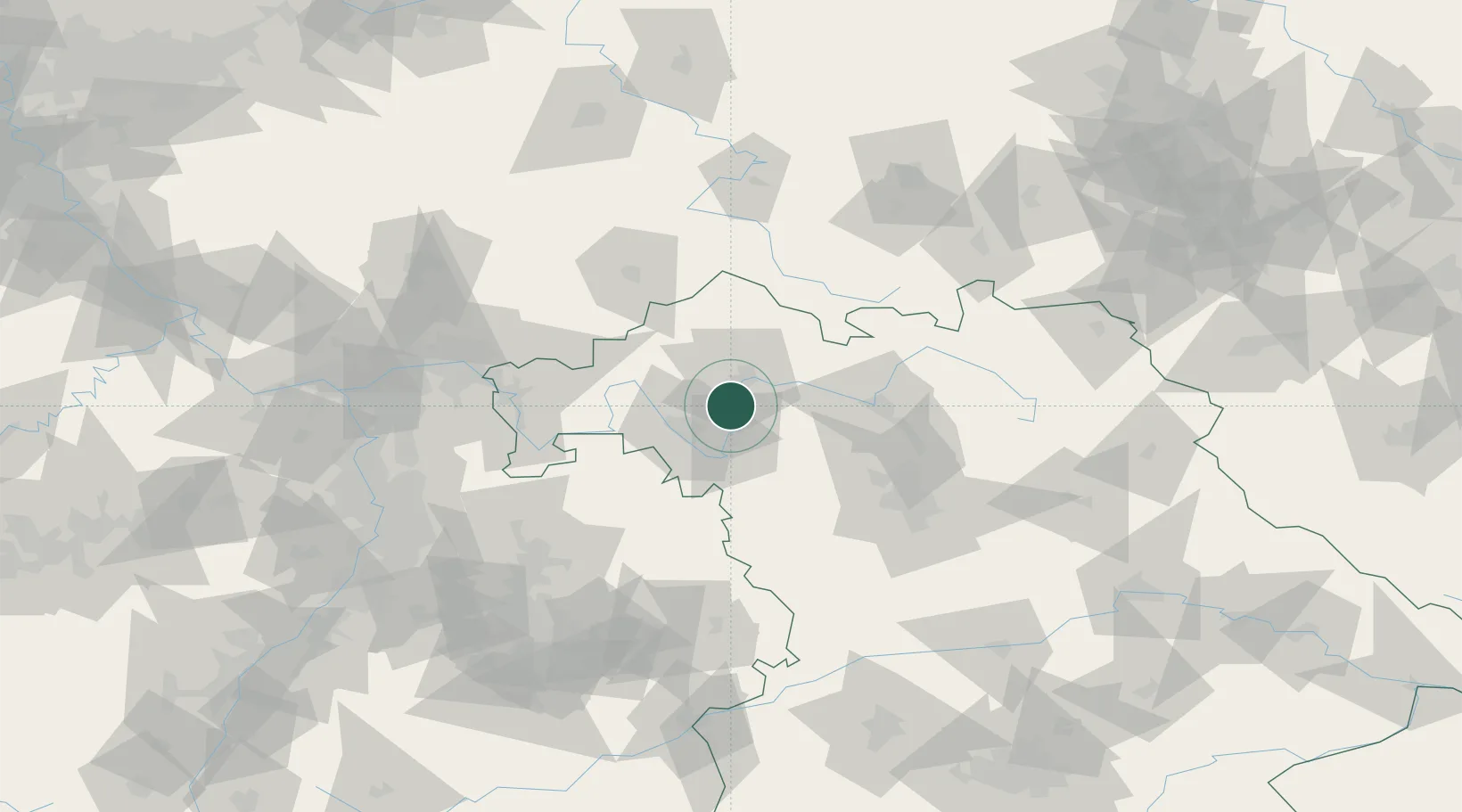
Location
Nearby Logistics Neighbours
Cities
- 1Schwanfeld2 km
- 2Volkach7 km
- 3Ettleben8 km
- 4Bergrheinfeld9 km
- 5Seligenstadt10 km
Airports
- 1Bamberg-Breitenau Airfield54 km
- 2Niederstetten Army Air Base60 km
- 3Nuremberg Airport80 km
- 4Adolf Würth Airport93 km
- 5Bayreuth Airport106 km
Trade Zones
- 1Freeport of Deggendorf231 km
- 2ZFU Hautepierre232 km
- 3ZFU Neuhof232 km
- 4Podbořany Industrial Zone234 km
- 5Žatec - Triangle Strategic Industrial Zone245 km
DatabookThe Record of Consolidated Knowledge
Germany beyond logistics?