Transport Functions
Port
Rail
Road
Hub Profile
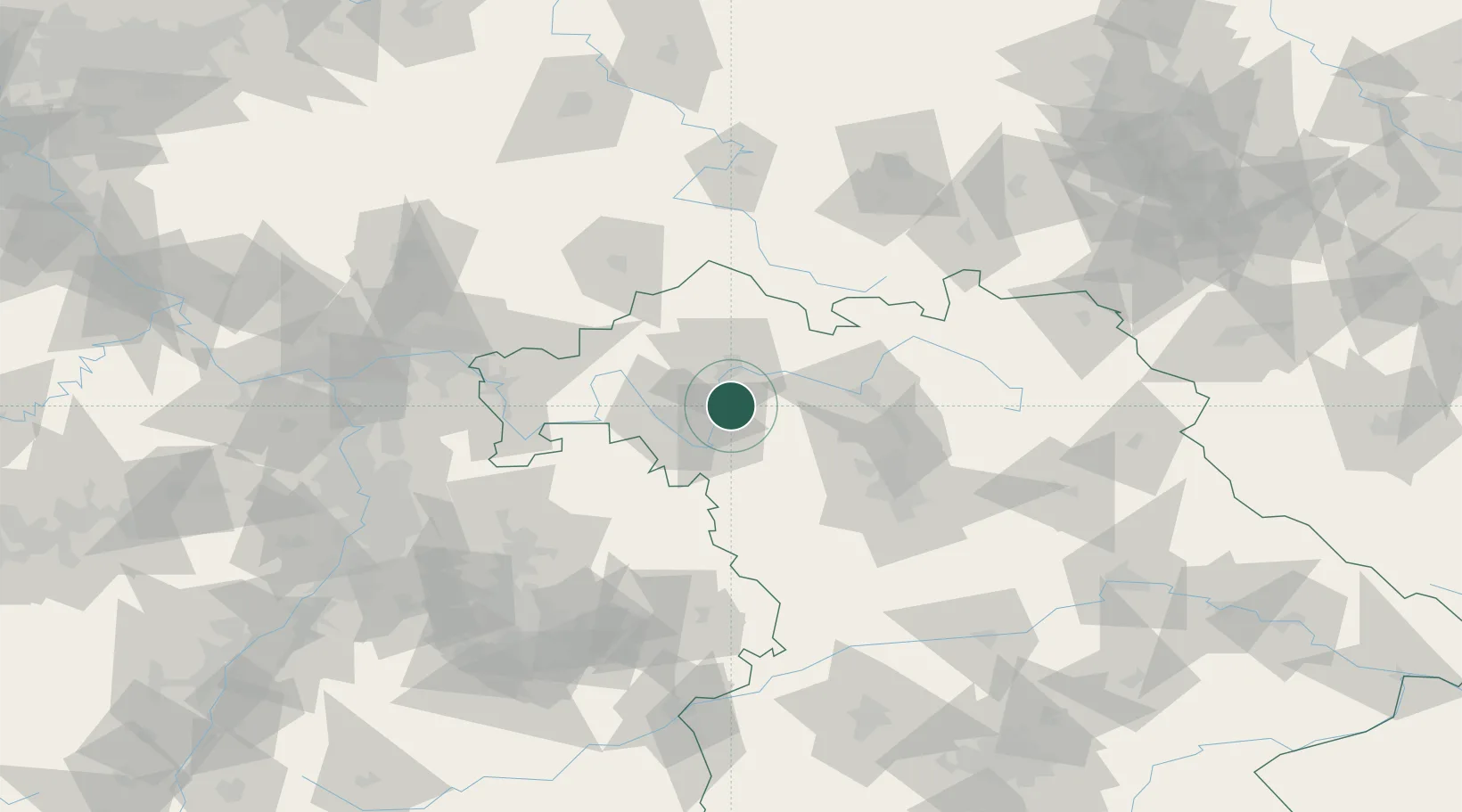
Place type
Populated place
Region
Bavaria
Population
9,585
Time zone
Europe/Berlin
Elevation
203 m
Location
Nearby Logistics Neighbours
Cities
- 1Wipfeld7 km
- 2Schwanfeld9 km
- 3Euerfeld10 km
- 4Seligenstadt11 km
- 5Effeldorf13 km
Airports
- 1Bamberg-Breitenau Airfield49 km
- 2Niederstetten Army Air Base57 km
- 3Nuremberg Airport73 km
- 4Adolf Würth Airport89 km
- 5Bayreuth Airport102 km
Trade Zones
- 1Freeport of Deggendorf224 km
- 2Podbořany Industrial Zone230 km
- 3ZFU Neuhof232 km
- 4ZFU Hautepierre233 km
- 5Žatec - Triangle Strategic Industrial Zone242 km
DatabookThe Record of Consolidated Knowledge
Germany beyond logistics?