Transport Functions
Rail
Road
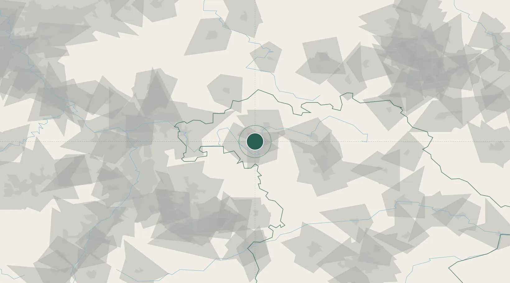
Hub Profile
Place type
Populated place
Region
Bavaria
Time zone
Europe/Berlin
Elevation
284 m
Location
Nearby Logistics Neighbours
Cities
- 1Euerfeld4 km
- 2Effeldorf6 km
- 3Rottendorf (Wurzburg)7 km
- 4Schwanfeld8 km
- 5Wipfeld10 km
Airports
- 1Niederstetten Army Air Base52 km
- 2Bamberg-Breitenau Airfield60 km
- 3Nuremberg Airport82 km
- 4Adolf Würth Airport84 km
- 5Frankfurt-Egelsbach Airport104 km
Trade Zones
- 1ZFU Neuhof223 km
- 2ZFU Hautepierre223 km
- 3Freeport of Deggendorf233 km
- 4ZFU La Cité Behren-lès-Forbach240 km
- 5Podbořany Industrial Zone241 km
DatabookThe Record of Consolidated Knowledge
Germany beyond logistics?