Transport Functions
Road
Multimodal
Hub Profile
Place type
Populated place
Region
Bavaria
Time zone
Europe/Berlin
Elevation
226 m
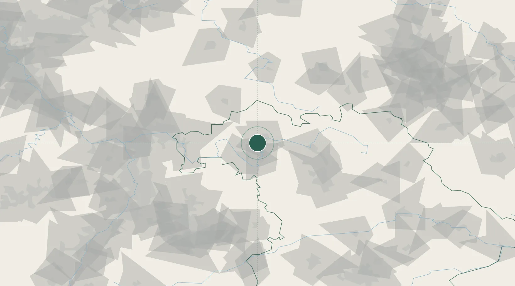
Location
Nearby Logistics Neighbours
Cities
- 1Bergrheinfeld4 km
- 2Schwanfeld7 km
- 3Geldersheim8 km
- 4Wipfeld8 km
- 5Schweinfurt8 km
Airports
- 1Bamberg-Breitenau Airfield56 km
- 2Niederstetten Army Air Base67 km
- 3Nuremberg Airport87 km
- 4Adolf Würth Airport99 km
- 5Frankfurt-Egelsbach Airport107 km
Trade Zones
- 1Podbořany Industrial Zone235 km
- 2ZFU Hautepierre235 km
- 3ZFU Neuhof235 km
- 4Freeport of Deggendorf237 km
- 5Žatec - Triangle Strategic Industrial Zone246 km
DatabookThe Record of Consolidated Knowledge
Germany beyond logistics?