UN/LOCODE hub · Germany
DEZAA

Bergrheinfeld

50.0000°, 10.1833°
4,971
Population
1
Transport functions

Transport Functions

Multimodal
UN/LOCODE

Hub Profile

Place type
Local administrative seat
GeoNames
Region
Bavaria
GeoNames
Population
4,971
GeoNames
Time zone
Europe/Berlin
GeoNames
Elevation
213 m
GeoNames

Location

Location of DEZAA
Natural Earth 10m (public domain) · Bavaria · DEZAA · 50.00, 10.18GoogleOSMYandex

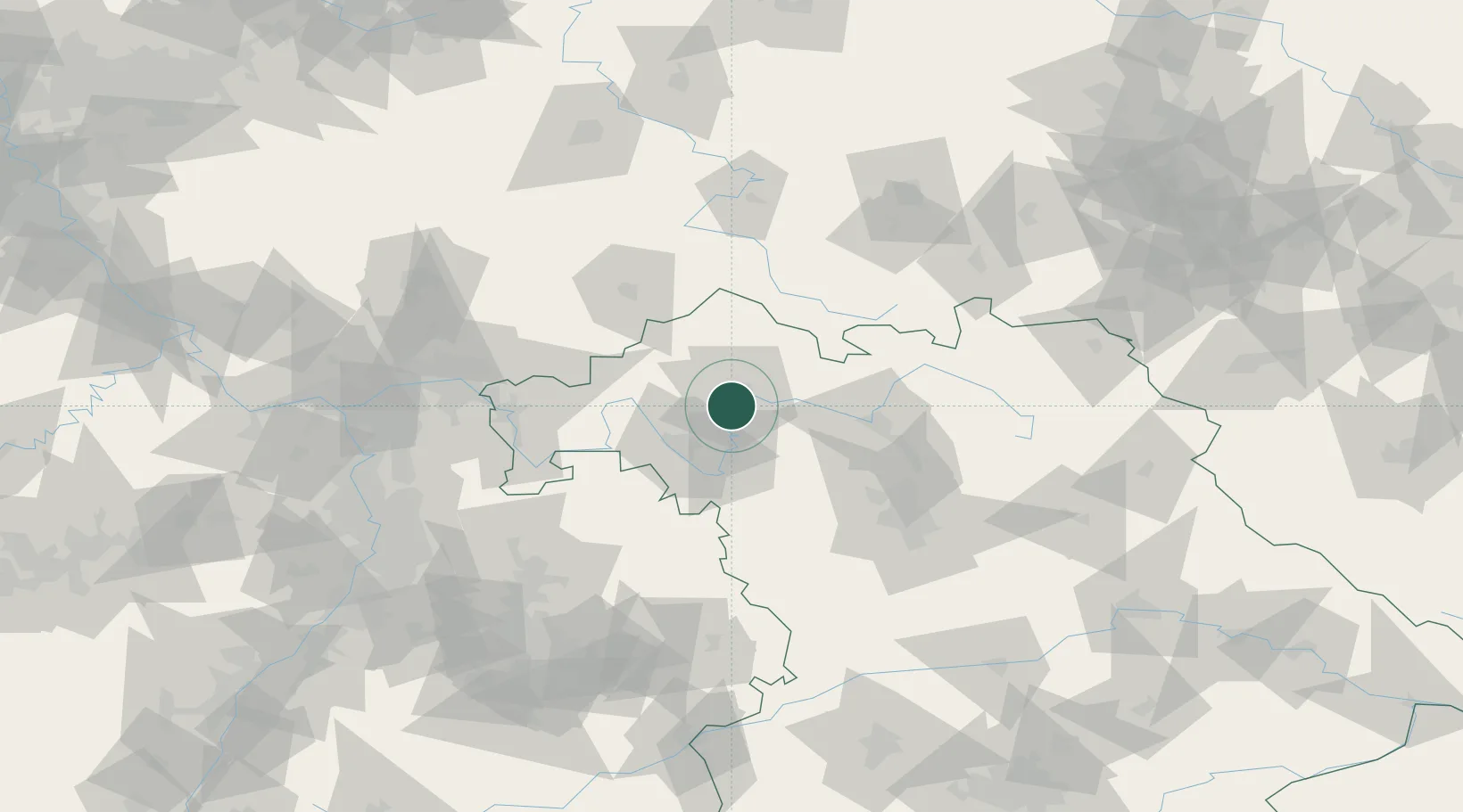
Nearby Logistics Neighbours

Cities
  1. 1Ettleben4 km
  2. 2Schweinfurt4 km
  3. 3Geldersheim6 km
  4. 4Oberwerrn8 km
  5. 5Wipfeld9 km
Nearest neighbours — logibook spatial index (haversine) over the source coordinates
Ports
  1. 1Bremen362 km
  2. 2Oldenburg372 km
  3. 3Elsfleth379 km
  4. 4Brake389 km
  5. 5Hamburg395 km
Nearest neighbours — logibook spatial index (haversine) over the source coordinates
Airports
  1. 1Bamberg-Breitenau Airfield53 km
  2. 2Niederstetten Army Air Base70 km
  3. 3Nuremberg Airport85 km
  4. 4Adolf Würth Airport102 km
  5. 5Bayreuth Airport104 km
Nearest neighbours — logibook spatial index (haversine) over the source coordinates
Trade Zones
  1. 1Podbořany Industrial Zone231 km
  2. 2Freeport of Deggendorf235 km
  3. 3ZFU Hautepierre239 km
  4. 4ZFU Neuhof239 km
  5. 5Žatec - Triangle Strategic Industrial Zone242 km
Nearest neighbours — logibook spatial index (haversine) over the source coordinates
DatabookThe Record of Consolidated Knowledge
Germany beyond logistics?
Browse databook

All Sources

LocationsUN/LOCODE
UN/LOCODE — free
LocationsGeoNames
CC BY 4.0
Portsthe NGA World Port Index
Public domain (US gov)
AirportsOurAirports
Public domain
Trade Zonesthe World Bank SEZ database
CC BY 4.0
Trade ZonesOpen Zone Map
CC BY
← Germany locations